Distance to and from Arapahoe, Nebraska
Arapahoe, NE 68922
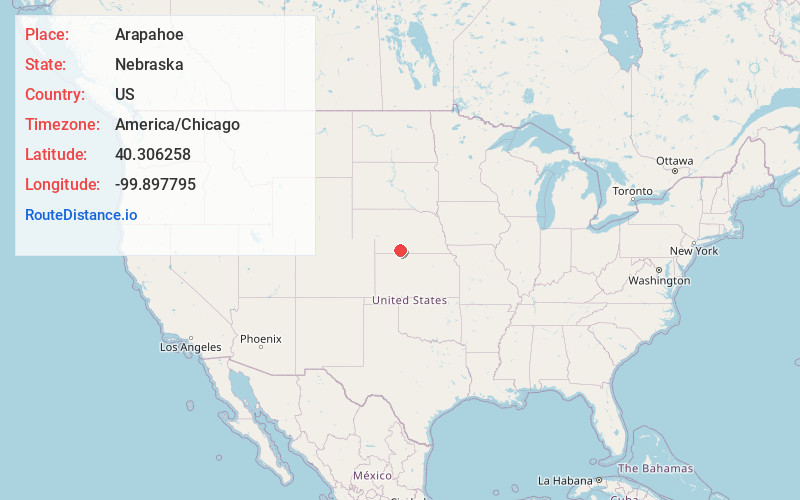
Arapahoe
Nebraska
US
America/Chicago
Location Information
-
Full AddressArapahoe, NE 68922
-
Coordinates40.3062583, -99.8977954
-
LocationArapahoe , Nebraska , US
-
TimezoneAmerica/Chicago
-
Current Local Time1:08:20 PM America/ChicagoSaturday, May 3, 2025
-
Page Views0
Directions to Nearest Cities
About Arapahoe
Arapahoe is a city in Furnas County, in the southern part of the state of Nebraska in the Midwestern United States. The population of the rural town was 1,026 at the 2010 census.


Nearby Places
Found 10 places within 50 miles

Cambridge
14.2 mi
22.9 km
Cambridge, NE 69022
Get directions

Holdrege
29.3 mi
47.2 km
Holdrege, NE 68949
Get directions

Alma
31.7 mi
51.0 km
Alma, NE 68920
Get directions

Norton
32.6 mi
52.5 km
Norton, KS 67654
Get directions

Lexington
33.8 mi
54.4 km
Lexington, NE 68850
Get directions

Cozad
38.3 mi
61.6 km
Cozad, NE 69130
Get directions

McCook
39.1 mi
62.9 km
McCook, NE 69001
Get directions

Elm Creek
39.6 mi
63.7 km
Elm Creek, NE 68836
Get directions

Gothenburg
45.1 mi
72.6 km
Gothenburg, NE 69138
Get directions

Oberlin
47.4 mi
76.3 km
Oberlin, KS 67749
Get directions
Cambridge
14.2 mi
22.9 km
Cambridge, NE 69022
Holdrege
29.3 mi
47.2 km
Holdrege, NE 68949
Alma
31.7 mi
51.0 km
Alma, NE 68920
Norton
32.6 mi
52.5 km
Norton, KS 67654
Lexington
33.8 mi
54.4 km
Lexington, NE 68850
Cozad
38.3 mi
61.6 km
Cozad, NE 69130
McCook
39.1 mi
62.9 km
McCook, NE 69001
Elm Creek
39.6 mi
63.7 km
Elm Creek, NE 68836
Gothenburg
45.1 mi
72.6 km
Gothenburg, NE 69138
Oberlin
47.4 mi
76.3 km
Oberlin, KS 67749
Location Links
Local Weather
Weather Information
Coming soon!
Location Map
Static map view of Arapahoe, Nebraska
Browse Places by Distance
Places within specific distances from Arapahoe
Short Distances
Long Distances
Click any distance to see all places within that range from Arapahoe. Distances shown in miles (1 mile ≈ 1.61 kilometers).