Distance to and from Aravaipa, Arizona
Aravaipa, AZ 85543
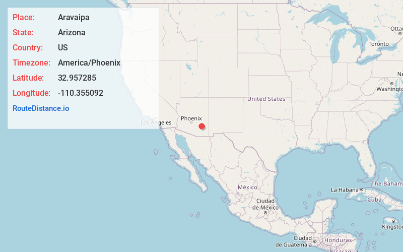
Aravaipa
Arizona
US
America/Phoenix
Location Information
-
Full AddressAravaipa, AZ 85543
-
Coordinates32.9572853, -110.3550919
-
LocationAravaipa , Arizona , US
-
TimezoneAmerica/Phoenix
-
Current Local Time10:07:33 AM America/PhoenixSaturday, May 3, 2025
-
Page Views0
Directions to Nearest Cities
About Aravaipa
Aravaipa, formerly Dunlap, a former populated place, on Arizona Gulch, a tributary of Deer Creek, tributary to Aravaipa Creek north of Klondyke in Graham County, Arizona. Aravaipa lies at an elevation of 4600 feet.
Nearby Places
Found 10 places within 50 miles

Copper Creek
15.9 mi
25.6 km
Copper Creek, AZ 85618
Get directions

Natches
17.8 mi
28.6 km
Natches, AZ 85530
Get directions
Calva
18.3 mi
29.5 km
Calva, AZ 85530
Get directions

Bylas
18.3 mi
29.5 km
Bylas, AZ 85530
Get directions

Dudleyville
22.1 mi
35.6 km
Dudleyville, AZ 85192
Get directions

Mammoth
23.2 mi
37.3 km
Mammoth, AZ
Get directions

Fort Thomas
23.2 mi
37.3 km
Fort Thomas, AZ
Get directions

Winkelman
24.2 mi
38.9 km
Winkelman, AZ
Get directions

Peridot
24.3 mi
39.1 km
Peridot, AZ
Get directions
Dripping Springs
24.5 mi
39.4 km
Dripping Springs, AZ 85192
Get directions
Copper Creek
15.9 mi
25.6 km
Copper Creek, AZ 85618
Natches
17.8 mi
28.6 km
Natches, AZ 85530
Calva
18.3 mi
29.5 km
Calva, AZ 85530
Bylas
18.3 mi
29.5 km
Bylas, AZ 85530
Dudleyville
22.1 mi
35.6 km
Dudleyville, AZ 85192
Mammoth
23.2 mi
37.3 km
Mammoth, AZ
Fort Thomas
23.2 mi
37.3 km
Fort Thomas, AZ
Winkelman
24.2 mi
38.9 km
Winkelman, AZ
Peridot
24.3 mi
39.1 km
Peridot, AZ
Dripping Springs
24.5 mi
39.4 km
Dripping Springs, AZ 85192
Location Links
Local Weather
Weather Information
Coming soon!
Location Map
Static map view of Aravaipa, Arizona
Browse Places by Distance
Places within specific distances from Aravaipa
Short Distances
Long Distances
Click any distance to see all places within that range from Aravaipa. Distances shown in miles (1 mile ≈ 1.61 kilometers).