Distance to Arbaugh, Arkansas

Calculating Your Route
Just a moment while we process your request...
Location Information
-
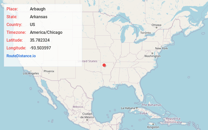
Full AddressArbaugh, AR 72752
-
Coordinates35.7823239, -93.5035965
-
LocationArbaugh , Arkansas , US
-
TimezoneAmerica/Chicago
-
Current Local Time1:40:41 AM America/ChicagoSunday, May 25, 2025
-
Page Views0
Nearby Places
Found 10 places within 50 miles

Loafer
1.1 mi
1.8 km
Loafer, AR 72752
Get directions

Oark
7.5 mi
12.1 km
Oark, AR
Get directions
Friley
7.9 mi
12.7 km
Friley, AR 72752
Get directions
Pettigrew
8.5 mi
13.7 km
Pettigrew, AR 72760
Get directions
Farris Springs
9.7 mi
15.6 km
Farris Springs, Arkansas 72854
Get directions
Dutton
10.9 mi
17.5 km
Dutton, AR 72760
Get directions
Nail
12.2 mi
19.6 km
Nail, AR 72628
Get directions
Limestone
12.3 mi
19.8 km
Limestone, AR 72839
Get directions
Batson
13.7 mi
22.0 km
Batson, AR 72852
Get directions

Boxley
14.6 mi
23.5 km
Boxley, AR 72742
Get directions
Location Links
Local Weather
Weather Information
Coming soon!
Location Map
Static map view of Arbaugh, Arkansas
Browse Places by Distance
Places within specific distances from Arbaugh
Short Distances
Long Distances
Click any distance to see all places within that range from Arbaugh. Distances shown in miles (1 mile ≈ 1.61 kilometers).