Distance to Oark, Arkansas

Calculating Your Route
Just a moment while we process your request...
Location Information
-
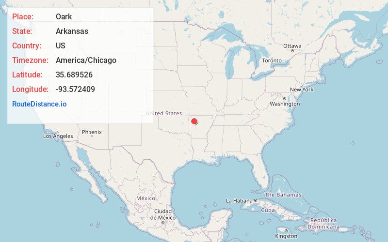
Full AddressOark, AR
-
Coordinates35.6895255, -93.5724092
-
LocationOark , Arkansas , US
-
TimezoneAmerica/Chicago
-
Current Local Time4:52:25 AM America/ChicagoSaturday, May 24, 2025
-
Page Views0
About Oark
Oark is an unincorporated community and census-designated place in Johnson County, Arkansas, United States. Oark is located on Arkansas Highway 215, 16 miles northwest of Clarksville. It was first listed as a CDP in the 2020 census with a population of 43.
Oark has a post office with ZIP Code 72852.


Nearby Places
Found 10 places within 50 miles

St Paul
14.2 mi
22.9 km
St Paul, AR
Get directions

Clarksville
16.2 mi
26.1 km
Clarksville, AR 72830
Get directions
Hartman
17.9 mi
28.8 km
Hartman, AR 72840
Get directions

Coal Hill
18.3 mi
29.5 km
Coal Hill, AR
Get directions

Hagarville
18.4 mi
29.6 km
Hagarville, AR
Get directions

Ozark
20.0 mi
32.2 km
Ozark, AR 72949
Get directions

Altus
20.0 mi
32.2 km
Altus, AR
Get directions

Lamar
20.1 mi
32.3 km
Lamar, AR
Get directions
Alix
20.3 mi
32.7 km
Alix, AR
Get directions
Denning
20.8 mi
33.5 km
Denning, AR
Get directions
Location Links
Local Weather
Weather Information
Coming soon!
Location Map
Static map view of Oark, Arkansas
Browse Places by Distance
Places within specific distances from Oark
Short Distances
Long Distances
Click any distance to see all places within that range from Oark. Distances shown in miles (1 mile ≈ 1.61 kilometers).