Distance to Lamar, Arkansas
Location Information
-
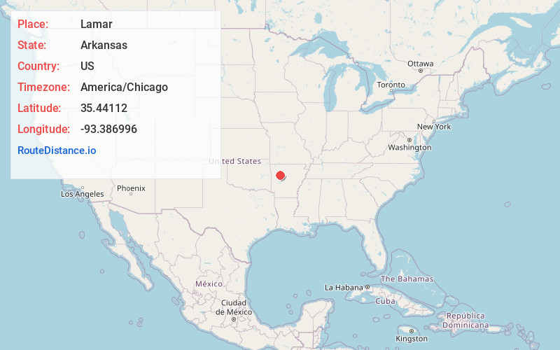
Full AddressLamar, AR
-
Coordinates35.4411202, -93.386996
-
LocationLamar , Arkansas , US
-
TimezoneAmerica/Chicago
-
Current Local Time6:00:26 AM America/ChicagoSaturday, May 17, 2025
-
Page Views0
About Lamar
Lamar is a city in Johnson County, Arkansas, United States. The population was 1,605 at the 2010 census, up from 1,415 at the 2000 census.


Nearby Places
Found 10 places within 50 miles

Clarksville
5.0 mi
8.0 km
Clarksville, AR 72830
Get directions

Dover
15.6 mi
25.1 km
Dover, AR
Get directions

Russellville
18.2 mi
29.3 km
Russellville, AR
Get directions

Dardanelle
19.9 mi
32.0 km
Dardanelle, AR 72834
Get directions

Paris
21.9 mi
35.2 km
Paris, AR 72855
Get directions

Pottsville
23.1 mi
37.2 km
Pottsville, AR
Get directions

Ozark
25.0 mi
40.2 km
Ozark, AR 72949
Get directions

Danville
26.7 mi
43.0 km
Danville, AR
Get directions


Leaflet © OpenStreetMap contributors
Location Links
Local Weather
Weather Information
Coming soon!
Location Map
Static map view of Lamar, Arkansas
Browse Places by Distance
Places within specific distances from Lamar
Short Distances
Long Distances
Click any distance to see all places within that range from Lamar. Distances shown in miles (1 mile ≈ 1.61 kilometers).