Distance to Ozark, Arkansas

Calculating Your Route
Just a moment while we process your request...
Location Information
-
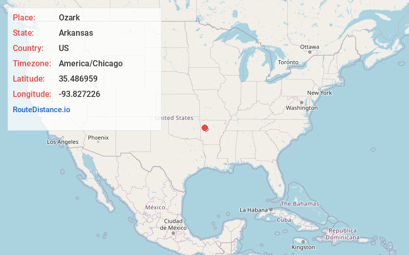
Full AddressOzark, AR 72949
-
Coordinates35.4869588, -93.8272262
-
LocationOzark , Arkansas , US
-
TimezoneAmerica/Chicago
-
Current Local Time8:44:37 AM America/ChicagoThursday, June 19, 2025
-
Page Views0
About Ozark
Ozark is a city in Franklin County, Arkansas, United States and one of the county's two seats of government. The community is located along the Arkansas River in the Arkansas River Valley on the southern edge of the Ozark Mountains. As of the 2020 census it had a population of 3,542.


Nearby Places
Found 10 places within 50 miles

Clarksville
20.2 mi
32.5 km
Clarksville, AR 72830
Get directions

Alma
22.4 mi
36.0 km
Alma, AR 72921
Get directions

Booneville
24.5 mi
39.4 km
Booneville, AR 72927
Get directions

Barling
28.9 mi
46.5 km
Barling, AR
Get directions

Van Buren
29.8 mi
48.0 km
Van Buren, AR 72956
Get directions

Greenwood
30.7 mi
49.4 km
Greenwood, AR 72936
Get directions

Fort Smith
34.2 mi
55.0 km
Fort Smith, AR
Get directions

Elkins
36.9 mi
59.4 km
Elkins, AR
Get directions

Pocola
40.7 mi
65.5 km
Pocola, OK
Get directions

Russellville
41.6 mi
66.9 km
Russellville, AR
Get directions
Location Links
Local Weather
Weather Information
Coming soon!
Location Map
Static map view of Ozark, Arkansas
Browse Places by Distance
Places within specific distances from Ozark
Short Distances
Long Distances
Click any distance to see all places within that range from Ozark. Distances shown in miles (1 mile ≈ 1.61 kilometers).