Distance to Dover, Arkansas

Calculating Your Route
Just a moment while we process your request...
Location Information
-
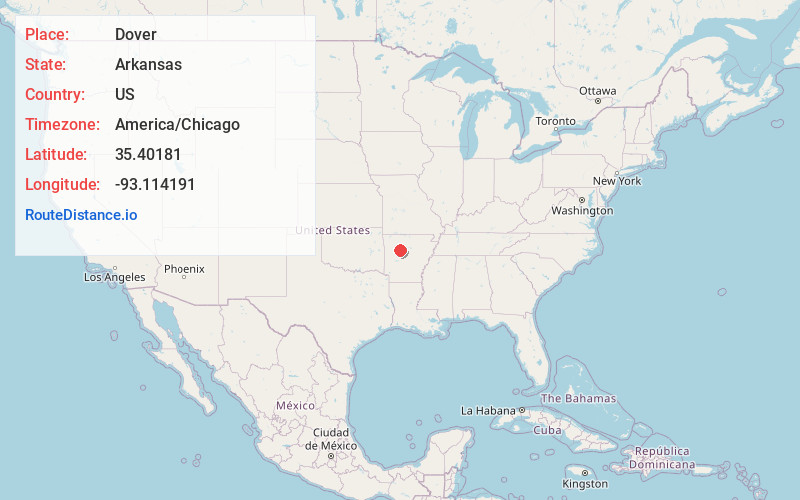
Full AddressDover, AR
-
Coordinates35.40181, -93.114191
-
LocationDover , Arkansas , US
-
TimezoneAmerica/Chicago
-
Current Local Time12:18:45 AM America/ChicagoThursday, June 19, 2025
-
Page Views0
About Dover
Dover is a town in Pope County, Arkansas, United States. The population was 1,378 at the 2010 census. Dover is located in the Arkansas River Valley, and is part of the Russellville Micropolitan Statistical Area.


Nearby Places
Found 10 places within 50 miles

Russellville
8.6 mi
13.8 km
Russellville, AR
Get directions

Pottsville
10.9 mi
17.5 km
Pottsville, AR
Get directions

Dardanelle
12.6 mi
20.3 km
Dardanelle, AR 72834
Get directions

Atkins
14.9 mi
24.0 km
Atkins, AR
Get directions

Clarksville
20.5 mi
33.0 km
Clarksville, AR 72830
Get directions

Morrilton
27.1 mi
43.6 km
Morrilton, AR 72110
Get directions

Danville
28.7 mi
46.2 km
Danville, AR
Get directions

Paris
35.5 mi
57.1 km
Paris, AR 72855
Get directions

Clinton
39.1 mi
62.9 km
Clinton, AR 72031
Get directions

Ozark
40.6 mi
65.3 km
Ozark, AR 72949
Get directions
Location Links
Local Weather
Weather Information
Coming soon!
Location Map
Static map view of Dover, Arkansas
Browse Places by Distance
Places within specific distances from Dover
Short Distances
Long Distances
Click any distance to see all places within that range from Dover. Distances shown in miles (1 mile ≈ 1.61 kilometers).