Distance to Archdale, North Carolina

Calculating Your Route
Just a moment while we process your request...
Location Information
-
Full AddressArchdale, NC
-
Coordinates35.914581, -79.9719831
-
LocationArchdale , North Carolina , US
-
TimezoneAmerica/New_York
-
Current Local Time3:26:58 AM America/New_YorkWednesday, June 18, 2025
-
Page Views0
About Archdale
Archdale is a city in Guilford and Randolph counties in the U.S. state of North Carolina. Located 15 miles southwest of Greensboro, it is part of the Greensboro-High Point Metropolitan Statistical Area of the Piedmont Triad metro region. The population of the city was 11,907 at the 2020 census.


Nearby Places
Found 10 places within 50 miles

High Point
3.4 mi
5.5 km
High Point, NC
Get directions

Thomasville
6.5 mi
10.5 km
Thomasville, NC 27360
Get directions

Greensboro
14.9 mi
24.0 km
Greensboro, NC
Get directions

Kernersville
15.3 mi
24.6 km
Kernersville, NC
Get directions

Asheboro
16.8 mi
27.0 km
Asheboro, NC
Get directions

Lexington
17.0 mi
27.4 km
Lexington, NC
Get directions

Winston-Salem
19.6 mi
31.5 km
Winston-Salem, NC
Get directions

Clemmons
24.1 mi
38.8 km
Clemmons, NC
Get directions

Lewisville
28.0 mi
45.1 km
Lewisville, NC
Get directions

Burlington
32.4 mi
52.1 km
Burlington, NC
Get directions
Location Links
Local Weather
Weather Information
Coming soon!
Location Map
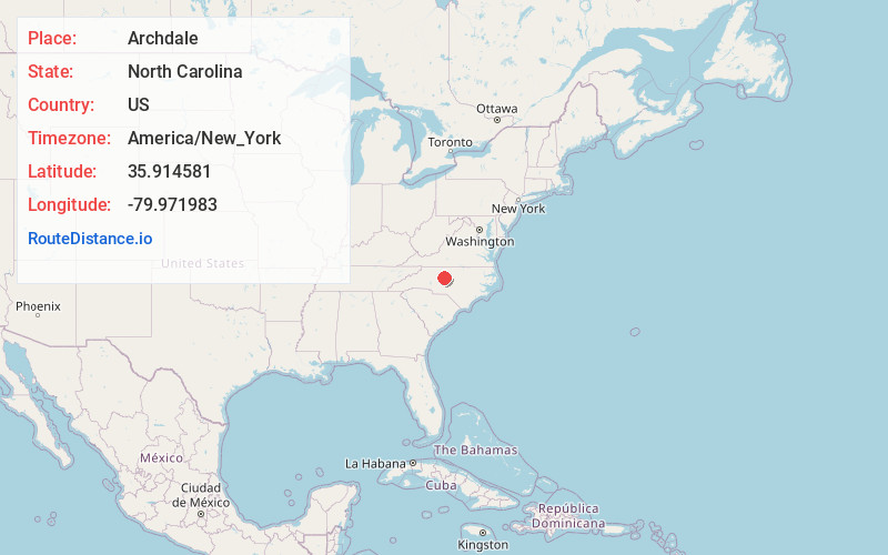
Static map view of Archdale, North Carolina
Browse Places by Distance
Places within specific distances from Archdale
Short Distances
Long Distances
Click any distance to see all places within that range from Archdale. Distances shown in miles (1 mile ≈ 1.61 kilometers).