Distance to Arden, Arkansas

Calculating Your Route
Just a moment while we process your request...
Location Information
-
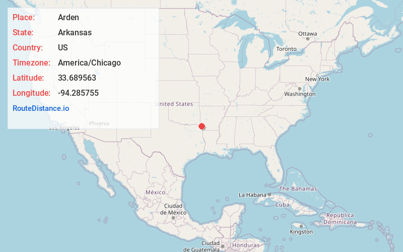
Full AddressArden, AR 71822
-
Coordinates33.6895629, -94.2857554
-
LocationArden , Arkansas , US
-
TimezoneAmerica/Chicago
-
Current Local Time12:47:30 PM America/ChicagoSaturday, May 31, 2025
-
Page Views0
Nearby Places
Found 10 places within 50 miles

Pankov
3.3 mi
5.3 km
Pankov, AR 71836
Get directions
Alleene
5.8 mi
9.3 km
Alleene, AR
Get directions

Foreman
6.5 mi
10.5 km
Foreman, AR 71836
Get directions
Wilton
8.7 mi
14.0 km
Wilton, AR
Get directions

Ashdown
8.9 mi
14.3 km
Ashdown, AR 71822
Get directions
Smith Hill
10.3 mi
16.6 km
Smith Hill, TX 75561
Get directions

Winthrop
10.6 mi
17.1 km
Winthrop, AR 71866
Get directions
Jewell
14.0 mi
22.5 km
Jewell, AR 71866
Get directions
Ben Lomond
14.1 mi
22.7 km
Ben Lomond, AR 71846
Get directions

White Cliffs
14.9 mi
24.0 km
White Cliffs, AR 71846
Get directions
Location Links
Local Weather
Weather Information
Coming soon!
Location Map
Static map view of Arden, Arkansas
Browse Places by Distance
Places within specific distances from Arden
Short Distances
Long Distances
Click any distance to see all places within that range from Arden. Distances shown in miles (1 mile ≈ 1.61 kilometers).