Distance to Arizola, Arizona

Calculating Your Route
Just a moment while we process your request...
Location Information
-
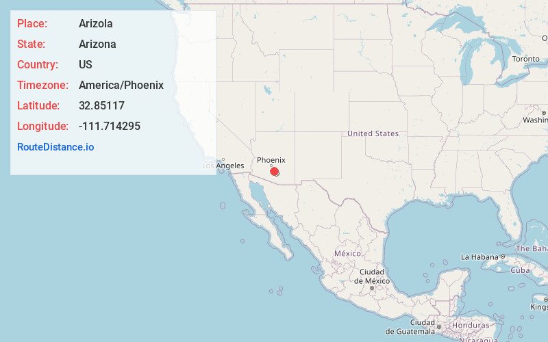
Full AddressArizola, AZ 85122
-
Coordinates32.8511698, -111.7142947
-
LocationArizola , Arizona , US
-
TimezoneAmerica/Phoenix
-
Current Local Time10:55:57 PM America/PhoenixTuesday, June 17, 2025
-
Page Views0
About Arizola
Arizola is a populated place situated in Pinal County, Arizona, United States. It has an estimated elevation of 1,437 feet above sea level.
The community was named by combining Arizona and Ola Thomas, the daughter of an early settler.
Nearby Places
Found 10 places within 50 miles

Casa Grande
5.4 mi
8.7 km
Casa Grande, AZ
Get directions

Arizona City
7.0 mi
11.3 km
Arizona City, AZ 85123
Get directions

Chuichu
7.9 mi
12.7 km
Chuichu, AZ
Get directions

Eloy
11.4 mi
18.3 km
Eloy, AZ
Get directions

Coolidge
14.4 mi
23.2 km
Coolidge, AZ
Get directions

Stanfield
14.5 mi
23.3 km
Stanfield, AZ 85172
Get directions

Blackwater
14.6 mi
23.5 km
Blackwater, AZ
Get directions
Sacaton Flats
15.3 mi
24.6 km
Sacaton Flats, AZ
Get directions

Sacaton
15.7 mi
25.3 km
Sacaton, AZ
Get directions

Picacho
15.7 mi
25.3 km
Picacho, AZ
Get directions
Location Links
Local Weather
Weather Information
Coming soon!
Location Map
Static map view of Arizola, Arizona
Browse Places by Distance
Places within specific distances from Arizola
Short Distances
Long Distances
Click any distance to see all places within that range from Arizola. Distances shown in miles (1 mile ≈ 1.61 kilometers).