Distance to Arlington, Missouri

Calculating Your Route
Just a moment while we process your request...
Location Information
-
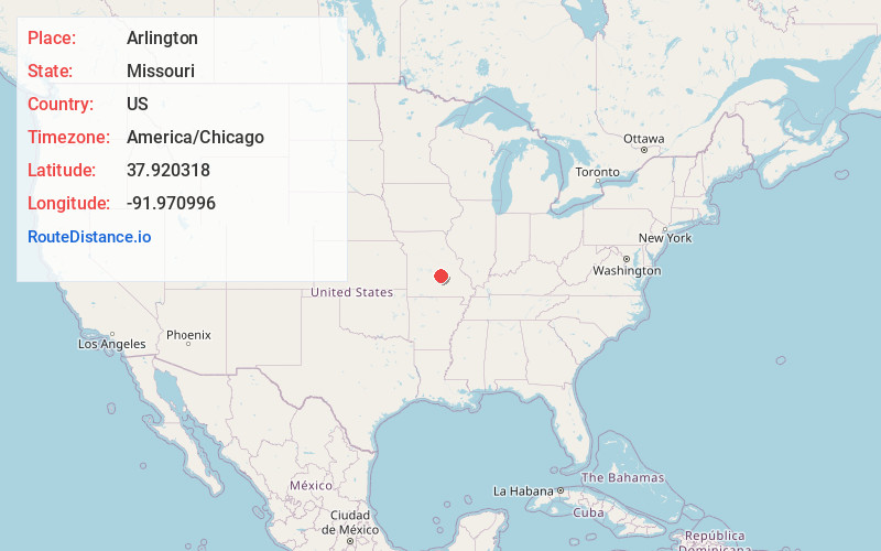
Full AddressArlington, MO 65550
-
Coordinates37.9203181, -91.9709958
-
LocationArlington , Missouri , US
-
TimezoneAmerica/Chicago
-
Current Local Time9:27:48 AM America/ChicagoSaturday, May 24, 2025
-
Page Views0
About Arlington
Arlington is an unincorporated community in western Phelps County, Missouri, United States. The community is located just northeast of the confluence of Little Piney Creek and the Gasconade River. I-44 passes just to the east and the Burlington Northern Railroad passes the south edge of the community.

Nearby Places
Found 10 places within 50 miles

Sugartree
3.3 mi
5.3 km
Sugartree, Miller Township, MO 65550
Get directions

Newburg
3.7 mi
6.0 km
Newburg, MO 65550
Get directions
Franks
4.3 mi
6.9 km
Franks, Union Township, MO 65459
Get directions

Doolittle
5.1 mi
8.2 km
Doolittle, MO
Get directions

Hooker
6.4 mi
10.3 km
Hooker, Cullen Township, MO 65550
Get directions

Devils Elbow
7.2 mi
11.6 km
Devils Elbow, MO 65457
Get directions

Dixon
8.3 mi
13.4 km
Dixon, MO 65459
Get directions
Big Bend
9.8 mi
15.8 km
Big Bend, Dry Creek Township, MO 65459
Get directions

Vida
10.3 mi
16.6 km
Vida, Cold Spring Township, MO 65401
Get directions
Stickney
10.4 mi
16.7 km
Stickney, Dry Creek Township, MO 65459
Get directions
Location Links
Local Weather
Weather Information
Coming soon!
Location Map
Static map view of Arlington, Missouri
Browse Places by Distance
Places within specific distances from Arlington
Short Distances
Long Distances
Click any distance to see all places within that range from Arlington. Distances shown in miles (1 mile ≈ 1.61 kilometers).