Distance to Arm, Mississippi

Calculating Your Route
Just a moment while we process your request...
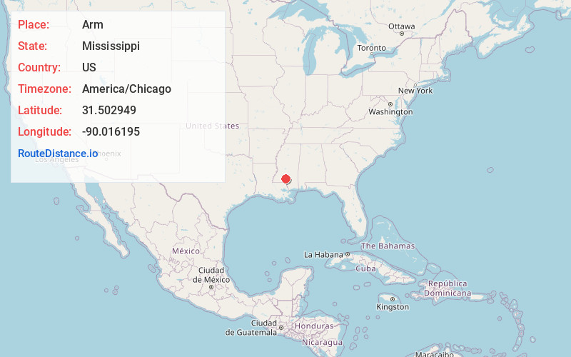
Location Information
-
Full AddressArm, MS 39663
-
Coordinates31.5029489, -90.0161945
-
LocationArm , Mississippi , US
-
TimezoneAmerica/Chicago
-
Current Local Time1:44:34 AM America/ChicagoFriday, June 20, 2025
-
Page Views0
About Arm
Arm is an unincorporated community in Lawrence County, Mississippi, United States. Arm is located on Mississippi Highway 43 6.4 miles east-southeast of Monticello, and 2.3 miles south of the junction with Mississippi Highway 43A.
Nearby Places
Found 10 places within 50 miles

Monticello
6.4 mi
10.3 km
Monticello, MS
Get directions

Silver Creek
7.1 mi
11.4 km
Silver Creek, MS 39663
Get directions
Carmich
8.4 mi
13.5 km
Carmich, MS 39483
Get directions
Ferguson
9.7 mi
15.6 km
Ferguson, MS 39663
Get directions
Society Hill
9.9 mi
15.9 km
Society Hill, MS 39656
Get directions
White Bluff
10.0 mi
16.1 km
White Bluff, MS 39483
Get directions

Prentiss
11.0 mi
17.7 km
Prentiss, MS 39474
Get directions
Topeka
11.8 mi
19.0 km
Topeka, MS 39641
Get directions
Newsom
13.1 mi
21.1 km
Newsom, MS 39483
Get directions
Jefferson Davis County
13.2 mi
21.2 km
Jefferson Davis County, MS
Get directions
Location Links
Local Weather
Weather Information
Coming soon!
Location Map
Static map view of Arm, Mississippi
Browse Places by Distance
Places within specific distances from Arm
Short Distances
Long Distances
Click any distance to see all places within that range from Arm. Distances shown in miles (1 mile ≈ 1.61 kilometers).