Distance to Monticello, Mississippi

Calculating Your Route
Just a moment while we process your request...
Location Information
-
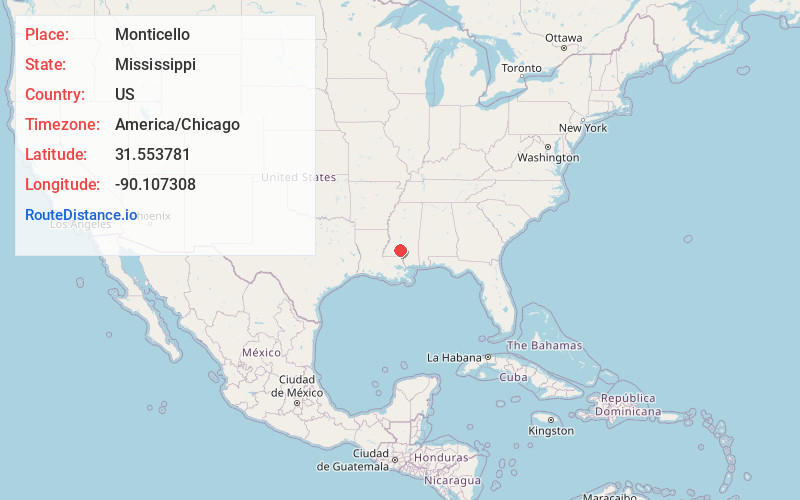
Full AddressMonticello, MS
-
Coordinates31.5537807, -90.1073079
-
LocationMonticello , Mississippi , US
-
TimezoneAmerica/Chicago
-
Current Local Time7:15:37 AM America/ChicagoWednesday, June 18, 2025
-
Page Views0
About Monticello
Monticello is a town in and the county seat of Lawrence County, Mississippi, United States. The population was 1,571 at the 2010 census.
Nearby Places
Found 10 places within 50 miles

Brookhaven
19.7 mi
31.7 km
Brookhaven, MS
Get directions

Wesson
19.9 mi
32.0 km
Wesson, MS 39191
Get directions

Columbia
26.3 mi
42.3 km
Columbia, MS 39429
Get directions

Hazlehurst
27.1 mi
43.6 km
Hazlehurst, MS 39083
Get directions

Summit
28.3 mi
45.5 km
Summit, MS
Get directions

McComb
29.6 mi
47.6 km
McComb, MS
Get directions
Mt Olive
30.2 mi
48.6 km
Mt Olive, MS 39119
Get directions

Tylertown
30.3 mi
48.8 km
Tylertown, MS 39667
Get directions

Magee
31.2 mi
50.2 km
Magee, MS
Get directions

Mendenhall
31.5 mi
50.7 km
Mendenhall, MS 39114
Get directions
Location Links
Local Weather
Weather Information
Coming soon!
Location Map
Static map view of Monticello, Mississippi
Browse Places by Distance
Places within specific distances from Monticello
Short Distances
Long Distances
Click any distance to see all places within that range from Monticello. Distances shown in miles (1 mile ≈ 1.61 kilometers).