Distance to Ash Fork, Arizona

Calculating Your Route
Just a moment while we process your request...
Location Information
-
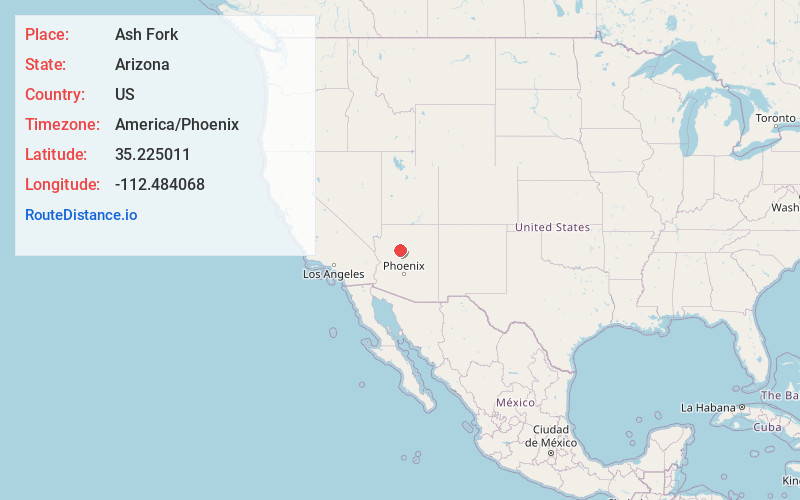
Full AddressAsh Fork, AZ 86320
-
Coordinates35.2250114, -112.4840675
-
LocationAsh Fork , Arizona , US
-
TimezoneAmerica/Phoenix
-
Current Local Time2:33:21 AM America/PhoenixWednesday, June 18, 2025
-
Page Views0
About Ash Fork
Ash Fork is a census-designated place in Yavapai County, Arizona, United States. Its population was 396 at the 2010 U.S. Census, down from 457 in 2000.


Nearby Places
Found 10 places within 50 miles

Williams
16.6 mi
26.7 km
Williams, AZ 86046
Get directions

Seligman
23.3 mi
37.5 km
Seligman, AZ 86337
Get directions

Paulden
23.5 mi
37.8 km
Paulden, AZ
Get directions

Parks
30.3 mi
48.8 km
Parks, AZ
Get directions

Chino Valley
32.3 mi
52.0 km
Chino Valley, AZ
Get directions

Bellemont
36.7 mi
59.1 km
Bellemont, AZ
Get directions

Williamson
37.1 mi
59.7 km
Williamson, AZ
Get directions

Clarkdale
39.6 mi
63.7 km
Clarkdale, AZ
Get directions

Fort Valley
42.8 mi
68.9 km
Fort Valley, AZ 86001
Get directions

Cottonwood
43.0 mi
69.2 km
Cottonwood, AZ
Get directions
Location Links
Local Weather
Weather Information
Coming soon!
Location Map
Static map view of Ash Fork, Arizona
Browse Places by Distance
Places within specific distances from Ash Fork
Short Distances
Long Distances
Click any distance to see all places within that range from Ash Fork. Distances shown in miles (1 mile ≈ 1.61 kilometers).