Distance to Bellemont, Arizona

Calculating Your Route
Just a moment while we process your request...
Location Information
-
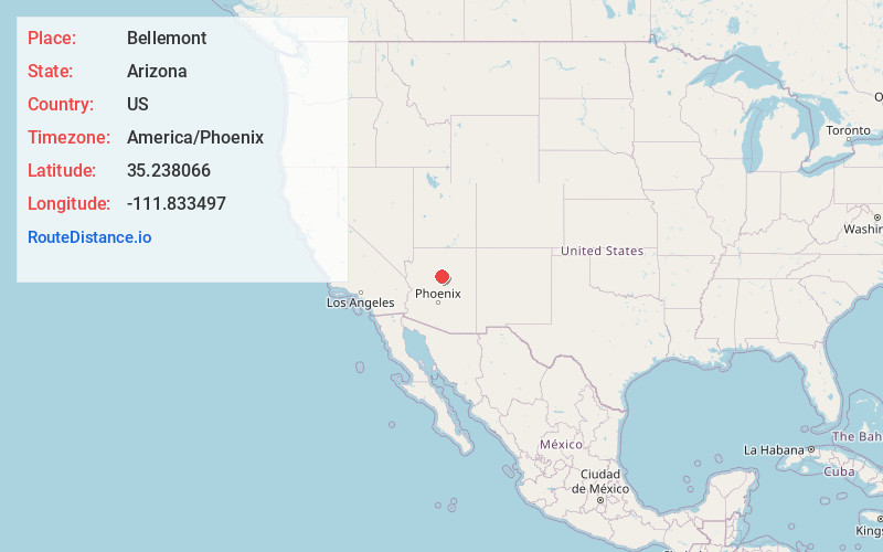
Full AddressBellemont, AZ
-
Coordinates35.2380657, -111.8334974
-
LocationBellemont , Arizona , US
-
TimezoneAmerica/Phoenix
-
Current Local Time12:54:52 PM America/PhoenixTuesday, June 10, 2025
-
Page Views0
About Bellemont
Bellemont is an unincorporated community in Coconino County, Arizona, United States, located along Interstate 40, about 11 miles west-northwest of Flagstaff. At an elevation of 7,132 feet, it is claimed to be the highest settlement along historic Route 66. It was a known water stop due to its local springs.


Nearby Places
Found 10 places within 50 miles

Fort Valley
6.3 mi
10.1 km
Fort Valley, AZ 86001
Get directions

Parks
6.7 mi
10.8 km
Parks, AZ
Get directions

Flagstaff
10.6 mi
17.1 km
Flagstaff, AZ
Get directions

Kachina Village
12.6 mi
20.3 km
Kachina Village, AZ 86001
Get directions

Doney Park
18.2 mi
29.3 km
Doney Park, AZ 86004
Get directions

Williams
20.2 mi
32.5 km
Williams, AZ 86046
Get directions

Sedona
26.0 mi
41.8 km
Sedona, AZ 86336
Get directions

Village of Oak Creek
31.9 mi
51.3 km
Village of Oak Creek, AZ 86351
Get directions

Clarkdale
34.7 mi
55.8 km
Clarkdale, AZ
Get directions

Cottonwood
35.9 mi
57.8 km
Cottonwood, AZ
Get directions
Location Links
Local Weather
Weather Information
Coming soon!
Location Map
Static map view of Bellemont, Arizona
Browse Places by Distance
Places within specific distances from Bellemont
Short Distances
Long Distances
Click any distance to see all places within that range from Bellemont. Distances shown in miles (1 mile ≈ 1.61 kilometers).