Distance to Sedona, Arizona

Calculating Your Route
Just a moment while we process your request...
Location Information
-
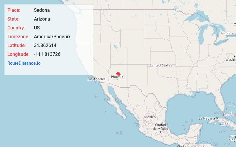
Full AddressSedona, AZ 86336
-
Coordinates34.862614, -111.8137258
-
LocationSedona , Arizona , US
-
TimezoneAmerica/Phoenix
-
Current Local Time12:20:35 PM America/PhoenixSunday, June 1, 2025
-
Website
-
Page Views0
About Sedona
Sedona is an Arizona desert town near Flagstaff that’s surrounded by red-rock buttes, steep canyon walls and pine forests. It’s noted for its mild climate and vibrant arts community. Uptown Sedona is dense with New Age shops, spas and art galleries. On the town’s outskirts, numerous trailheads access Red Rock State Park, which offers bird-watching, hiking and picnicking spots.


Nearby Places
Found 7 places within 50 miles

Cottonwood
14.0 mi
22.5 km
Cottonwood, AZ
Get directions

Cottonwood-Verde Village
15.0 mi
24.1 km
Cottonwood-Verde Village, AZ 86326
Get directions

Camp Verde
20.8 mi
33.5 km
Camp Verde, AZ 86322
Get directions

Flagstaff
24.9 mi
40.1 km
Flagstaff, AZ
Get directions

Prescott Valley
33.4 mi
53.8 km
Prescott Valley, AZ
Get directions

Chino Valley
37.0 mi
59.5 km
Chino Valley, AZ
Get directions

Prescott
43.4 mi
69.8 km
Prescott, AZ
Get directions
Location Links
Local Weather
Weather Information
Coming soon!
Location Map
Static map view of Sedona, Arizona
Browse Places by Distance
Places within specific distances from Sedona
Short Distances
Long Distances
Click any distance to see all places within that range from Sedona. Distances shown in miles (1 mile ≈ 1.61 kilometers).