Distance to Doney Park, Arizona

Calculating Your Route
Just a moment while we process your request...
Location Information
-
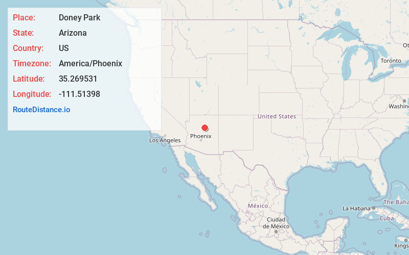
Full AddressDoney Park, AZ 86004
-
Coordinates35.2695305, -111.5139799
-
LocationDoney Park , Arizona , US
-
TimezoneAmerica/Phoenix
-
Current Local Time12:11:50 PM America/PhoenixTuesday, June 24, 2025
-
Page Views0
About Doney Park
Doney Park is a census-designated place in Coconino County, Arizona, United States. It is a residential area northeast of Flagstaff, located off U.S. Route 89 and is in the 86004 zip code.
The area is named for Kevin Doney, a northern Arizona pioneer.


Nearby Places
Found 6 places within 50 miles

Flagstaff
9.2 mi
14.8 km
Flagstaff, AZ
Get directions

Sedona
32.8 mi
52.8 km
Sedona, AZ 86336
Get directions

Village of Oak Creek
36.6 mi
58.9 km
Village of Oak Creek, AZ 86351
Get directions

Cottonwood
46.2 mi
74.4 km
Cottonwood, AZ
Get directions

Cottonwood-Verde Village
47.7 mi
76.8 km
Cottonwood-Verde Village, AZ 86326
Get directions

Winslow
49.2 mi
79.2 km
Winslow, AZ 86047
Get directions
Location Links
Local Weather
Weather Information
Coming soon!
Location Map
Static map view of Doney Park, Arizona
Browse Places by Distance
Places within specific distances from Doney Park
Short Distances
Long Distances
Click any distance to see all places within that range from Doney Park. Distances shown in miles (1 mile ≈ 1.61 kilometers).