Distance to Ashby, Nebraska

Calculating Your Route
Just a moment while we process your request...
Location Information
-
Full AddressAshby, NE 69333
-
Coordinates42.0232992, -101.9293466
-
LocationAshby , Nebraska , US
-
TimezoneAmerica/Denver
-
Current Local Time3:30:31 AM America/DenverWednesday, June 18, 2025
-
Page Views0
About Ashby
Ashby is an unincorporated community in Grant County, Nebraska, United States. Its elevation is 3,843 feet, and it is located at 42°1′19″N 101°55′40″W. It lies along Nebraska Highway 2, 9 miles west-northwest of Hyannis, the county seat of Grant County. It has a post office with the ZIP code 69333.

Nearby Places
Found 10 places within 50 miles

Bingham
8.2 mi
13.2 km
Bingham, NE
Get directions

Hyannis
8.7 mi
14.0 km
Hyannis, NE
Get directions
Duluth
15.1 mi
24.3 km
Duluth, Whitman Precinct, NE 69366
Get directions

Ellsworth
18.1 mi
29.1 km
Ellsworth, NE 69340
Get directions
Lakeside
25.6 mi
41.2 km
Lakeside, NE 69351
Get directions
Hire
28.2 mi
45.4 km
Hire, Lackey Precinct, NE 69366
Get directions
Lena
31.4 mi
50.5 km
Lena, NE 69366
Get directions
Arthur
33.5 mi
53.9 km
Arthur, NE 69121
Get directions
Hoffland
37.6 mi
60.5 km
Hoffland, South Sheridan Precinct, NE 69301
Get directions
McKeag
40.5 mi
65.2 km
McKeag, NE 69146
Get directions
Location Links
Local Weather
Weather Information
Coming soon!
Location Map
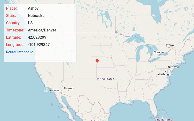
Static map view of Ashby, Nebraska
Browse Places by Distance
Places within specific distances from Ashby
Short Distances
Long Distances
Click any distance to see all places within that range from Ashby. Distances shown in miles (1 mile ≈ 1.61 kilometers).