Distance to Lakeside, Nebraska

Calculating Your Route
Just a moment while we process your request...
Location Information
-
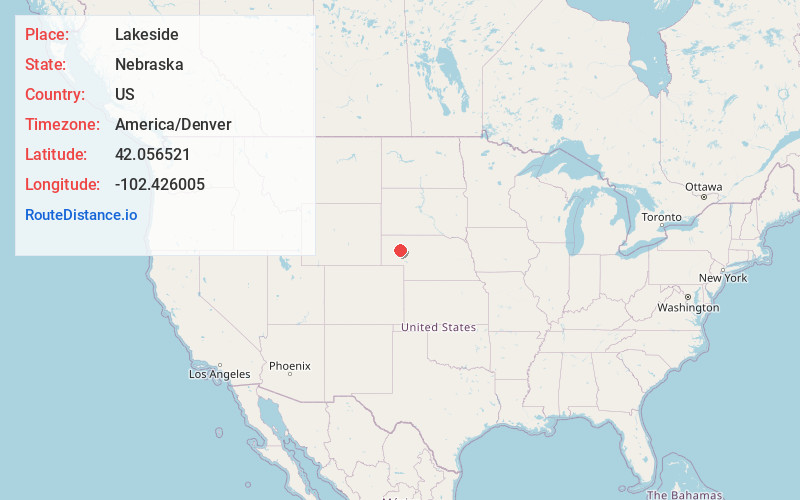
Full AddressLakeside, NE 69351
-
Coordinates42.056521, -102.4260048
-
LocationLakeside , Nebraska , US
-
TimezoneAmerica/Denver
-
Current Local Time11:44:17 PM America/DenverFriday, May 23, 2025
-
Page Views0
About Lakeside
Lakeside is an unincorporated community in southern Sheridan County, Nebraska, United States. It lies along Nebraska Highway 2 and Nebraska Highway 250, south of the city of Rushville, the county seat of Sheridan County, at an elevation of 3,881 feet. Lakeside has a post office, with ZIP code 69351.
Nearby Places
Found 10 places within 50 miles

Bingham
17.5 mi
28.2 km
Bingham, NE
Get directions

Alliance
22.9 mi
36.9 km
Alliance, NE 69301
Get directions
Berea
30.6 mi
49.2 km
Berea, NE 69301
Get directions

Hyannis
34.3 mi
55.2 km
Hyannis, NE
Get directions

Hemingford
37.9 mi
61.0 km
Hemingford, NE 69348
Get directions

Broadwater
38.6 mi
62.1 km
Broadwater, NE 69125
Get directions

Lisco
39.9 mi
64.2 km
Lisco, NE 69148
Get directions
Northport
42.7 mi
68.7 km
Northport, North Camp Clarke Precinct, NE 69336
Get directions

Bridgeport
44.1 mi
71.0 km
Bridgeport, NE 69336
Get directions

Oshkosh
45.2 mi
72.7 km
Oshkosh, NE 69154
Get directions
Location Links
Local Weather
Weather Information
Coming soon!
Location Map
Static map view of Lakeside, Nebraska
Browse Places by Distance
Places within specific distances from Lakeside
Short Distances
Long Distances
Click any distance to see all places within that range from Lakeside. Distances shown in miles (1 mile ≈ 1.61 kilometers).