Distance to Berea, Nebraska

Calculating Your Route
Just a moment while we process your request...
Location Information
-
Full AddressBerea, NE 69301
-
Coordinates42.21452, -102.9841
-
LocationBerea , Nebraska , US
-
TimezoneAmerica/Denver
-
Current Local Time8:30:15 PM America/DenverSaturday, June 21, 2025
-
Page Views0
About Berea
Berea is an unincorporated community and census-designated place in Box Butte County, in the northwestern part of the state of Nebraska in the Midwestern United States. It had a population of 41 at the 2010 census.
Nearby Places
Found 10 places within 50 miles

Hemingford
8.7 mi
14.0 km
Hemingford, NE 69348
Get directions

Alliance
10.2 mi
16.4 km
Alliance, NE 69301
Get directions

Hay Springs
35.7 mi
57.5 km
Hay Springs, NE 69347
Get directions

Bayard
36.2 mi
58.3 km
Bayard, NE 69334
Get directions

Bridgeport
38.4 mi
61.8 km
Bridgeport, NE 69336
Get directions

Minatare
38.7 mi
62.3 km
Minatare, NE 69356
Get directions

Crawford
38.9 mi
62.6 km
Crawford, NE 69339
Get directions

McGrew
39.3 mi
63.2 km
McGrew, NE
Get directions

Melbeta
40.5 mi
65.2 km
Melbeta, NE
Get directions

Whitney
41.6 mi
66.9 km
Whitney, NE 69367
Get directions
Location Links
Local Weather
Weather Information
Coming soon!
Location Map
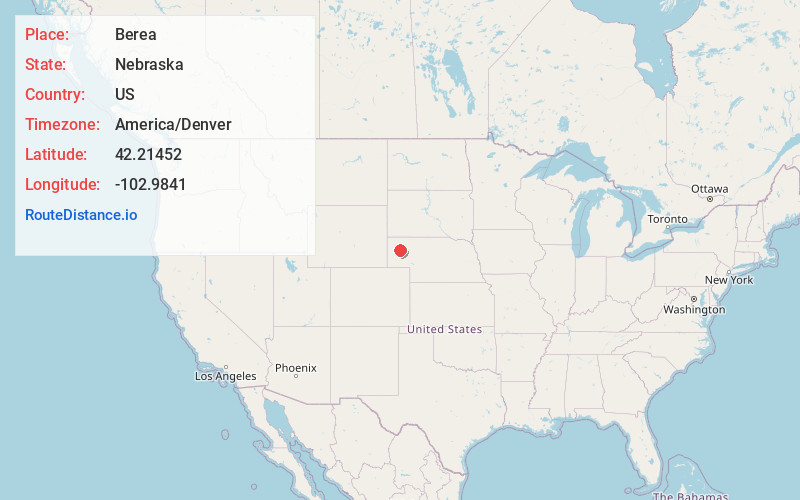
Static map view of Berea, Nebraska
Browse Places by Distance
Places within specific distances from Berea
Short Distances
Long Distances
Click any distance to see all places within that range from Berea. Distances shown in miles (1 mile ≈ 1.61 kilometers).