Distance to Ashcroft, Colorado

Calculating Your Route
Just a moment while we process your request...
Location Information
-
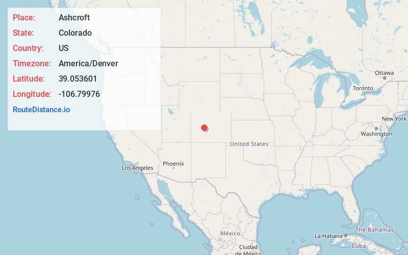
Full AddressAshcroft, CO 81611
-
Coordinates39.0536012, -106.7997604
-
LocationAshcroft , Colorado , US
-
TimezoneAmerica/Denver
-
Current Local Time9:06:12 PM America/DenverFriday, May 30, 2025
-
Page Views0
About Ashcroft
Ashcroft is an extinct mining town located in Pitkin County, Colorado, United States. The silver mining camp was founded as Castle Forks City in the spring of 1880. A post office named Ashcroft operated at the site from August 12, 1880, until August 5, 1881, when the name was changed to Chloride.


Nearby Places
Found 10 places within 50 miles

Aspen
9.5 mi
15.3 km
Aspen, CO 81611
Get directions

Gothic
12.1 mi
19.5 km
Gothic, CO 81224
Get directions

Snowmass Village
13.3 mi
21.4 km
Snowmass Village, CO
Get directions

Schofield Pass
13.5 mi
21.7 km
Schofield Pass, Colorado 81654
Get directions

Elkton
14.0 mi
22.5 km
Elkton, CO 81224
Get directions

Pieplant Mill
15.2 mi
24.5 km
Pieplant Mill, CO 81210
Get directions

Woody Creek
15.9 mi
25.6 km
Woody Creek, CO
Get directions
Everett
16.0 mi
25.7 km
Everett, CO 81211
Get directions

Crested Butte
16.2 mi
26.1 km
Crested Butte, CO 81224
Get directions
Nast
19.6 mi
31.5 km
Nast, CO 81642
Get directions
Location Links
Local Weather
Weather Information
Coming soon!
Location Map
Static map view of Ashcroft, Colorado
Browse Places by Distance
Places within specific distances from Ashcroft
Short Distances
Long Distances
Click any distance to see all places within that range from Ashcroft. Distances shown in miles (1 mile ≈ 1.61 kilometers).