Distance to Ashepoo Crossing, South Carolina

Calculating Your Route
Just a moment while we process your request...
Location Information
-
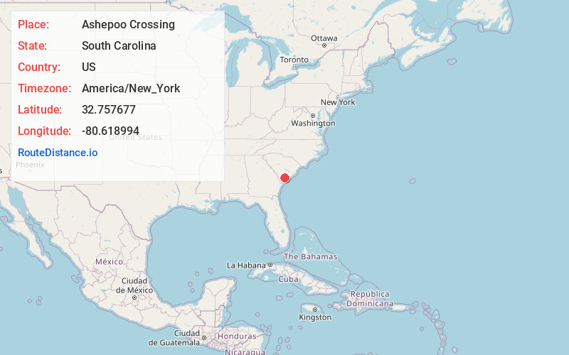
Full AddressAshepoo Crossing, SC 29446
-
Coordinates32.7576773, -80.6189938
-
LocationAshepoo Crossing , South Carolina , US
-
TimezoneAmerica/New_York
-
Current Local Time6:58:16 AM America/New_YorkSaturday, June 21, 2025
-
Page Views0
Nearby Places
Found 10 places within 50 miles

Ritter
2.3 mi
3.7 km
Ritter, SC 29488
Get directions
Pringle Bend
6.5 mi
10.5 km
Pringle Bend, SC 29488
Get directions
Hendersonville
6.6 mi
10.6 km
Hendersonville, SC 29945
Get directions

Jacksonboro
9.6 mi
15.4 km
Jacksonboro, SC
Get directions

Walterboro
10.6 mi
17.1 km
Walterboro, SC 29488
Get directions
Ashepoo Siding
10.8 mi
17.4 km
Ashepoo Siding, SC 29446
Get directions
Iron Crossroads
11.0 mi
17.7 km
Iron Crossroads, SC 29474
Get directions
Wiggins
11.4 mi
18.3 km
Wiggins, SC 29446
Get directions
Parkers Ferry
12.9 mi
20.8 km
Parkers Ferry, SC 29426
Get directions
Brewton
13.1 mi
21.1 km
Brewton, SC 29945
Get directions
Location Links
Local Weather
Weather Information
Coming soon!
Location Map
Static map view of Ashepoo Crossing, South Carolina
Browse Places by Distance
Places within specific distances from Ashepoo Crossing
Short Distances
Long Distances
Click any distance to see all places within that range from Ashepoo Crossing. Distances shown in miles (1 mile ≈ 1.61 kilometers).