Distance to Asher, Kentucky

Calculating Your Route
Just a moment while we process your request...
Location Information
-
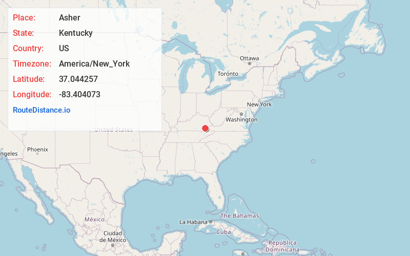
Full AddressAsher, KY 40840
-
Coordinates37.0442569, -83.4040725
-
LocationAsher , Kentucky , US
-
TimezoneAmerica/New_York
-
Current Local Time3:43:35 PM America/New_YorkTuesday, July 1, 2025
-
Page Views0
About Asher
Asher is an unincorporated community in Leslie County, Kentucky, United States. Its post office is closed.
Nearby Places
Found 10 places within 50 miles

Leslie County
2.2 mi
3.5 km
Leslie County, KY
Get directions

Hoskinston
2.4 mi
3.9 km
Hoskinston, KY
Get directions
Mozelle
2.9 mi
4.7 km
Mozelle, KY 40858
Get directions
Essie
2.9 mi
4.7 km
Essie, KY 40868
Get directions
Stinnett
3.2 mi
5.1 km
Stinnett, KY 40868
Get directions
Chappell
3.8 mi
6.1 km
Chappell, KY 40808
Get directions
Wendover
6.1 mi
9.8 km
Wendover, KY 41749
Get directions

Helton
6.3 mi
10.1 km
Helton, KY 40840
Get directions
Roark
6.3 mi
10.1 km
Roark, KY 40827
Get directions

Warbranch
6.6 mi
10.6 km
Warbranch, KY 40874
Get directions
Location Links
Local Weather
Weather Information
Coming soon!
Location Map
Static map view of Asher, Kentucky
Browse Places by Distance
Places within specific distances from Asher
Short Distances
Long Distances
Click any distance to see all places within that range from Asher. Distances shown in miles (1 mile ≈ 1.61 kilometers).