Distance to Chappell, Kentucky

Calculating Your Route
Just a moment while we process your request...
Location Information
-
Full AddressChappell, KY 40808
-
Coordinates37.0109239, -83.3499032
-
LocationChappell , Kentucky , US
-
TimezoneAmerica/New_York
-
Current Local Time8:08:31 AM America/New_YorkSaturday, May 24, 2025
-
Page Views0
About Chappell
Chappell is an unincorporated community in Leslie County, Kentucky, United States.
Nearby Places
Found 10 places within 50 miles

Big Fork
6.2 mi
10.0 km
Big Fork, KY 41777
Get directions

Cutshin
7.5 mi
12.1 km
Cutshin, KY 41777
Get directions
Divide
9.2 mi
14.8 km
Divide, KY 40870
Get directions
Putney
10.0 mi
16.1 km
Putney, KY 40865
Get directions
Queendale
10.0 mi
16.1 km
Queendale, KY 40962
Get directions

Hyden
10.4 mi
16.7 km
Hyden, KY 41749
Get directions

Loyall
11.0 mi
17.7 km
Loyall, KY
Get directions
Kitts
11.1 mi
17.9 km
Kitts, KY 40831
Get directions
Coxton
11.5 mi
18.5 km
Coxton, KY 40831
Get directions
Rio Vista
11.5 mi
18.5 km
Rio Vista, KY 40806
Get directions
Location Links
Local Weather
Weather Information
Coming soon!
Location Map
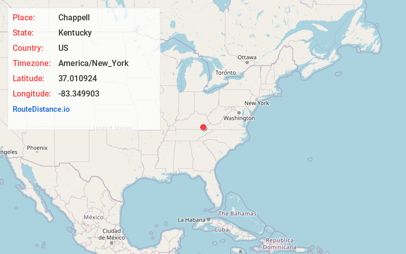
Static map view of Chappell, Kentucky
Browse Places by Distance
Places within specific distances from Chappell
Short Distances
Long Distances
Click any distance to see all places within that range from Chappell. Distances shown in miles (1 mile ≈ 1.61 kilometers).