Distance to Putney, Kentucky

Calculating Your Route
Just a moment while we process your request...
Location Information
-
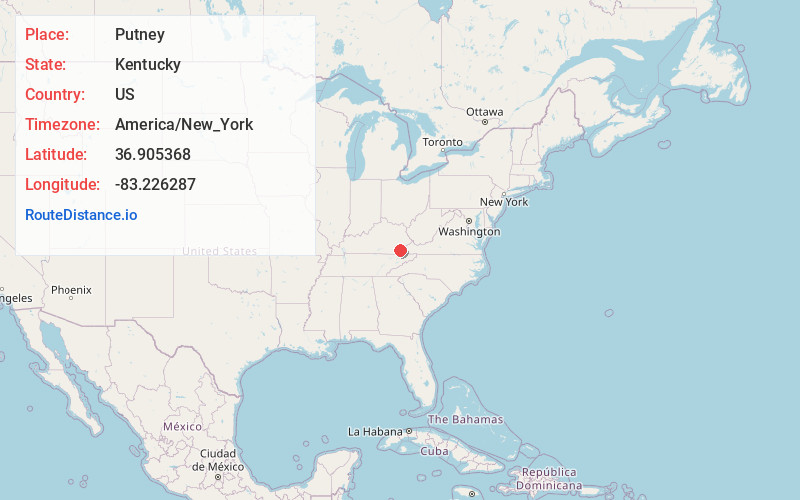
Full AddressPutney, KY 40865
-
Coordinates36.9053682, -83.2262868
-
LocationPutney , Kentucky , US
-
TimezoneAmerica/New_York
-
Current Local Time11:42:22 AM America/New_YorkWednesday, May 28, 2025
-
Page Views0
About Putney
Putney is an unincorporated community and coal town in Harlan County, Kentucky, United States. It is one of the trail heads for the Black Mountain Off-Road Adventure area.
Nearby Places
Found 10 places within 50 miles

Divide
2.2 mi
3.5 km
Divide, KY 40870
Get directions

Evarts
3.4 mi
5.5 km
Evarts, KY 40828
Get directions
Ages
3.5 mi
5.6 km
Ages, KY
Get directions
Coxton
4.1 mi
6.6 km
Coxton, KY 40831
Get directions
Ten Spot
4.3 mi
6.9 km
Ten Spot, KY 40828
Get directions
Kitts
5.1 mi
8.2 km
Kitts, KY 40831
Get directions
Kenvir
5.2 mi
8.4 km
Kenvir, KY
Get directions

Harlan
6.8 mi
10.9 km
Harlan, KY
Get directions
Farmers Mill
7.0 mi
11.3 km
Farmers Mill, KY 40831
Get directions
Lenarue
7.2 mi
11.6 km
Lenarue, KY 40818
Get directions
Location Links
Local Weather
Weather Information
Coming soon!
Location Map
Static map view of Putney, Kentucky
Browse Places by Distance
Places within specific distances from Putney
Short Distances
Long Distances
Click any distance to see all places within that range from Putney. Distances shown in miles (1 mile ≈ 1.61 kilometers).