Distance to Lenarue, Kentucky

Calculating Your Route
Just a moment while we process your request...
Location Information
-
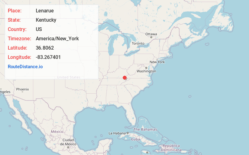
Full AddressLenarue, KY 40818
-
Coordinates36.8061995, -83.2674011
-
LocationKentucky , US
-
TimezoneAmerica/New_York
-
Current Local Time6:26:14 AM America/New_YorkThursday, June 5, 2025
-
Page Views0
About Lenarue
Lenarue is an unincorporated community and coal town in Harlan County, Kentucky, United States. Its post office is closed.
Nearby Places
Found 10 places within 50 miles

Farmers Mill
1.0 mi
1.6 km
Farmers Mill, KY 40831
Get directions
Bobs Creek
1.5 mi
2.4 km
Bobs Creek, KY 40815
Get directions
Cawood
2.7 mi
4.3 km
Cawood, KY 40815
Get directions
Coxton
3.5 mi
5.6 km
Coxton, KY 40831
Get directions
Dressen
3.6 mi
5.8 km
Dressen, KY 40831
Get directions
Ages
3.7 mi
6.0 km
Ages, KY
Get directions
Kitts
3.8 mi
6.1 km
Kitts, KY 40831
Get directions

Harlan
3.9 mi
6.3 km
Harlan, KY
Get directions

Evarts
5.6 mi
9.0 km
Evarts, KY 40828
Get directions

Loyall
5.7 mi
9.2 km
Loyall, KY
Get directions
Location Links
Local Weather
Weather Information
Coming soon!
Location Map
Static map view of Lenarue, Kentucky
Browse Places by Distance
Places within specific distances from Lenarue
Short Distances
Long Distances
Click any distance to see all places within that range from Lenarue. Distances shown in miles (1 mile ≈ 1.61 kilometers).