Distance to Coxton, Kentucky

Calculating Your Route
Just a moment while we process your request...
Location Information
-
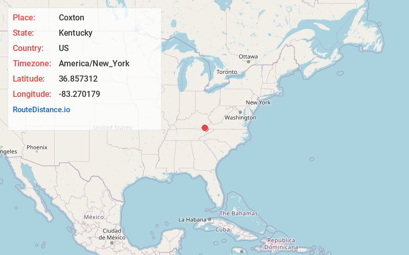
Full AddressCoxton, KY 40831
-
Coordinates36.8573115, -83.2701785
-
LocationCoxton , Kentucky , US
-
TimezoneAmerica/New_York
-
Current Local Time7:24:54 PM America/New_YorkSaturday, June 7, 2025
-
Page Views0
About Coxton
Coxton is an unincorporated coal town and census-designated place in Harlan County, Kentucky, United States. Their post office is closed. The community was listed as a CDP in 2014, so no population figures are available from the 2010 census.
Nearby Places
Found 10 places within 50 miles

Ages
1.4 mi
2.3 km
Ages, KY
Get directions

Harlan
3.0 mi
4.8 km
Harlan, KY
Get directions

Evarts
4.1 mi
6.6 km
Evarts, KY 40828
Get directions

Loyall
4.7 mi
7.6 km
Loyall, KY
Get directions
Cawood
5.6 mi
9.0 km
Cawood, KY 40815
Get directions
Kenvir
6.3 mi
10.1 km
Kenvir, KY
Get directions
South Wallins
8.3 mi
13.4 km
South Wallins, KY 40873
Get directions

Wallins Creek
8.3 mi
13.4 km
Wallins Creek, KY 40873
Get directions

Coldiron
10.4 mi
16.7 km
Coldiron, KY
Get directions
Pathfork
12.8 mi
20.6 km
Pathfork, KY 40863
Get directions
Location Links
Local Weather
Weather Information
Coming soon!
Location Map
Static map view of Coxton, Kentucky
Browse Places by Distance
Places within specific distances from Coxton
Short Distances
Long Distances
Click any distance to see all places within that range from Coxton. Distances shown in miles (1 mile ≈ 1.61 kilometers).