Distance to Pathfork, Kentucky

Calculating Your Route
Just a moment while we process your request...
Location Information
-
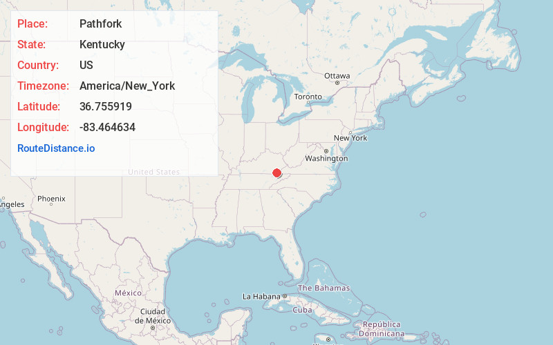
Full AddressPathfork, KY 40863
-
Coordinates36.7559193, -83.4646343
-
LocationPathfork , Kentucky , US
-
TimezoneAmerica/New_York
-
Current Local Time1:47:24 PM America/New_YorkTuesday, July 1, 2025
-
Page Views0
About Pathfork
Pathfork is an unincorporated community and census-designated place in Harlan County, Kentucky, United States, located to the south bank of Wallins Creek. Its population was 379 as of the 2010 census.
Nearby Places
Found 10 places within 50 miles

Coldiron
4.9 mi
7.9 km
Coldiron, KY
Get directions

South Wallins
5.1 mi
8.2 km
South Wallins, KY 40873
Get directions

Wallins Creek
5.8 mi
9.3 km
Wallins Creek, KY 40873
Get directions

Rose Hill
7.9 mi
12.7 km
Rose Hill, VA 24281
Get directions

Ewing
8.4 mi
13.5 km
Ewing, VA 24248
Get directions

Loyall
9.0 mi
14.5 km
Loyall, KY
Get directions

Harlan
9.9 mi
15.9 km
Harlan, KY
Get directions

Pineville
12.8 mi
20.6 km
Pineville, KY 40977
Get directions
Cawood
13.2 mi
21.2 km
Cawood, KY 40815
Get directions
Ages
14.0 mi
22.5 km
Ages, KY
Get directions
Location Links
Local Weather
Weather Information
Coming soon!
Location Map
Static map view of Pathfork, Kentucky
Browse Places by Distance
Places within specific distances from Pathfork
Short Distances
Long Distances
Click any distance to see all places within that range from Pathfork. Distances shown in miles (1 mile ≈ 1.61 kilometers).