Distance to Ashland, Nebraska

Calculating Your Route
Just a moment while we process your request...
Location Information
-
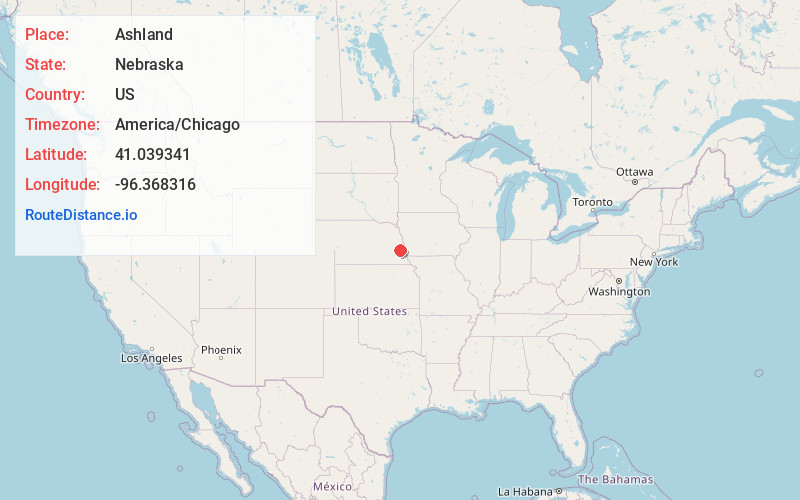
Full AddressAshland, NE 68003
-
Coordinates41.0393413, -96.3683157
-
LocationAshland , Nebraska , US
-
TimezoneAmerica/Chicago
-
Current Local Time5:44:45 PM America/ChicagoTuesday, June 17, 2025
-
Page Views0
About Ashland
Ashland is a city in Saunders County, Nebraska, United States. The population was 3,262 at the 2022 census.


Nearby Places
Found 10 places within 50 miles

Gretna
10.0 mi
16.1 km
Gretna, NE
Get directions

Waverly
12.0 mi
19.3 km
Waverly, NE 68462
Get directions

Chalco
15.0 mi
24.1 km
Chalco, NE 68138
Get directions

Wahoo
17.7 mi
28.5 km
Wahoo, NE
Get directions

La Vista
18.7 mi
30.1 km
La Vista, NE
Get directions

Papillion
18.7 mi
30.1 km
Papillion, NE
Get directions

Lincoln
23.4 mi
37.7 km
Lincoln, NE
Get directions

Offutt AFB
24.4 mi
39.3 km
Offutt AFB, NE
Get directions

Bellevue
24.4 mi
39.3 km
Bellevue, NE
Get directions

Plattsmouth
25.5 mi
41.0 km
Plattsmouth, NE 68048
Get directions
Location Links
Local Weather
Weather Information
Coming soon!
Location Map
Static map view of Ashland, Nebraska
Browse Places by Distance
Places within specific distances from Ashland
Short Distances
Long Distances
Click any distance to see all places within that range from Ashland. Distances shown in miles (1 mile ≈ 1.61 kilometers).