Distance to Ashland, Georgia

Calculating Your Route
Just a moment while we process your request...
Location Information
-
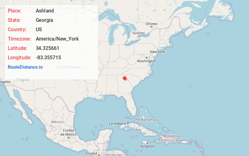
Full AddressAshland, GA 30521
-
Coordinates34.3256608, -83.3557146
-
LocationAshland , Georgia , US
-
TimezoneAmerica/New_York
-
Current Local Time1:36:40 PM America/New_YorkMonday, June 23, 2025
-
Page Views0
About Ashland
Ashland is an unincorporated community in Franklin County, in the U.S. state of Georgia.


Nearby Places
Found 10 places within 50 miles

Carlan
2.6 mi
4.2 km
Carlan, GA 30530
Get directions
Arp
3.4 mi
5.5 km
Arp, GA 30530
Get directions
Unity
3.9 mi
6.3 km
Unity, GA 30521
Get directions
Erastus
5.1 mi
8.2 km
Erastus, GA 30530
Get directions
Odis Crossroads
5.3 mi
8.5 km
Odis Crossroads, GA 30521
Get directions

Carnesville
7.5 mi
12.1 km
Carnesville, GA 30521
Get directions
Fort Lamar
7.5 mi
12.1 km
Fort Lamar, GA 30633
Get directions
Sandy Cross
7.9 mi
12.7 km
Sandy Cross, GA 30662
Get directions
Vandiver
7.9 mi
12.7 km
Vandiver, GA 30521
Get directions

Homer
8.2 mi
13.2 km
Homer, GA
Get directions
Location Links
Local Weather
Weather Information
Coming soon!
Location Map
Static map view of Ashland, Georgia
Browse Places by Distance
Places within specific distances from Ashland
Short Distances
Long Distances
Click any distance to see all places within that range from Ashland. Distances shown in miles (1 mile ≈ 1.61 kilometers).