Distance to Carnesville, Georgia

Calculating Your Route
Just a moment while we process your request...
Location Information
-
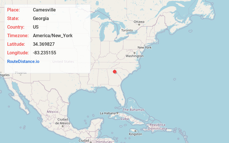
Full AddressCarnesville, GA 30521
-
Coordinates34.3698266, -83.235155
-
LocationCarnesville , Georgia , US
-
TimezoneAmerica/New_York
-
Current Local Time11:26:31 PM America/New_YorkSunday, June 29, 2025
-
Page Views0
About Carnesville
Carnesville is a city in Franklin County, Georgia, United States, and the county seat. Located in the center of Franklin County in northeastern Georgia, approximately 85 miles from Atlanta, Carnesville had a population of 713 as of 2020. It is the fourth most populous city in the county.


Nearby Places
Found 10 places within 50 miles

Franklin Springs
7.8 mi
12.6 km
Franklin Springs, GA 30662
Get directions

Lavonia
8.6 mi
13.8 km
Lavonia, GA 30553
Get directions

Royston
9.1 mi
14.6 km
Royston, GA 30662
Get directions

Gumlog
11.9 mi
19.2 km
Gumlog, GA
Get directions

Homer
15.3 mi
24.6 km
Homer, GA
Get directions

Toccoa
15.4 mi
24.8 km
Toccoa, GA
Get directions

Danielsville
17.0 mi
27.4 km
Danielsville, GA 30633
Get directions

Commerce
17.1 mi
27.5 km
Commerce, GA
Get directions

Hartwell
17.3 mi
27.8 km
Hartwell, GA 30643
Get directions

Mt Airy
18.3 mi
29.5 km
Mt Airy, GA
Get directions
Location Links
Local Weather
Weather Information
Coming soon!
Location Map
Static map view of Carnesville, Georgia
Browse Places by Distance
Places within specific distances from Carnesville
Short Distances
Long Distances
Click any distance to see all places within that range from Carnesville. Distances shown in miles (1 mile ≈ 1.61 kilometers).