Distance to Toccoa, Georgia

Calculating Your Route
Just a moment while we process your request...
Location Information
-
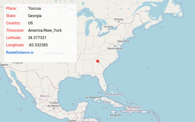
Full AddressToccoa, GA
-
Coordinates34.5773206, -83.3323851
-
LocationToccoa , Georgia , US
-
TimezoneAmerica/New_York
-
Current Local Time5:21:03 AM America/New_YorkWednesday, June 18, 2025
-
Page Views0
About Toccoa
Toccoa is a city in far Northeast Georgia near the border with South Carolina. It is the county seat of Stephens County, Georgia, United States, located about 50 miles from Athens and about 90 miles northeast of Atlanta. The population was 9,133 as of the 2020 census.


Nearby Places
Found 10 places within 50 miles

Clemson
29.1 mi
46.8 km
Clemson, SC
Get directions

Gainesville
34.0 mi
54.7 km
Gainesville, GA
Get directions

Jefferson
34.6 mi
55.7 km
Jefferson, GA
Get directions

Anderson
39.2 mi
63.1 km
Anderson, SC
Get directions

Braselton
40.6 mi
65.3 km
Braselton, GA
Get directions

Athens
42.8 mi
68.9 km
Athens, GA
Get directions

Flowery Branch
43.3 mi
69.7 km
Flowery Branch, GA
Get directions

Easley
45.0 mi
72.4 km
Easley, SC
Get directions

Winder
46.1 mi
74.2 km
Winder, GA
Get directions

Buford
49.7 mi
80.0 km
Buford, GA
Get directions
Location Links
Local Weather
Weather Information
Coming soon!
Location Map
Static map view of Toccoa, Georgia
Browse Places by Distance
Places within specific distances from Toccoa
Short Distances
Long Distances
Click any distance to see all places within that range from Toccoa. Distances shown in miles (1 mile ≈ 1.61 kilometers).