Distance to Jefferson, Georgia

Calculating Your Route
Just a moment while we process your request...
Location Information
-
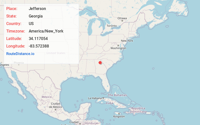
Full AddressJefferson, GA
-
Coordinates34.1170537, -83.5723876
-
LocationJefferson , Georgia , US
-
TimezoneAmerica/New_York
-
Current Local Time4:07:13 AM America/New_YorkSaturday, June 21, 2025
-
Page Views1
About Jefferson
Jefferson is a city and the county seat of Jackson County, Georgia, United States. The population was 9,432 at the 2010 census, up from 3,825 at the 2000 census. As of 2019 the estimated population was 12,032.


Nearby Places
Found 10 places within 50 miles

Braselton
10.9 mi
17.5 km
Braselton, GA
Get directions

Winder
12.1 mi
19.5 km
Winder, GA
Get directions

Athens
15.6 mi
25.1 km
Athens, GA
Get directions

Gainesville
19.1 mi
30.7 km
Gainesville, GA
Get directions

Monroe
23.7 mi
38.1 km
Monroe, GA
Get directions

Buford
24.7 mi
39.8 km
Buford, GA
Get directions

Sugar Hill
26.4 mi
42.5 km
Sugar Hill, GA
Get directions

Lawrenceville
26.4 mi
42.5 km
Lawrenceville, GA
Get directions

Loganville
26.9 mi
43.3 km
Loganville, GA 30052
Get directions

Suwanee
28.9 mi
46.5 km
Suwanee, GA 30024
Get directions
Location Links
Local Weather
Weather Information
Coming soon!
Location Map
Static map view of Jefferson, Georgia
Browse Places by Distance
Places within specific distances from Jefferson
Short Distances
Long Distances
Click any distance to see all places within that range from Jefferson. Distances shown in miles (1 mile ≈ 1.61 kilometers).