Distance to Monroe, Georgia

Calculating Your Route
Just a moment while we process your request...
Location Information
-
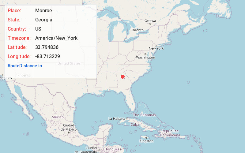
Full AddressMonroe, GA
-
Coordinates33.7948364, -83.713229
-
LocationMonroe , Georgia , US
-
TimezoneAmerica/New_York
-
Current Local Time8:12:21 AM America/New_YorkMonday, June 2, 2025
-
Page Views0
About Monroe
Monroe is a city and the county seat of Walton County, Georgia, United States. It is located both one hour east of Atlanta via US 78 and GA 138 to I-20 and east of Hartsfield–Jackson International Airport and is one of the exurban cities in the Atlanta metropolitan area.


Nearby Places
Found 10 places within 50 miles

Winder
13.7 mi
22.0 km
Winder, GA
Get directions

Snellville
18.1 mi
29.1 km
Snellville, GA
Get directions

Lawrenceville
19.1 mi
30.7 km
Lawrenceville, GA
Get directions

Conyers
19.6 mi
31.5 km
Conyers, GA
Get directions

Athens
22.4 mi
36.0 km
Athens, GA
Get directions

Redan
25.9 mi
41.7 km
Redan, GA
Get directions

Suwanee
27.1 mi
43.6 km
Suwanee, GA 30024
Get directions

Buford
28.0 mi
45.1 km
Buford, GA
Get directions

Sugar Hill
28.3 mi
45.5 km
Sugar Hill, GA
Get directions

Duluth
28.6 mi
46.0 km
Duluth, GA
Get directions
Location Links
Local Weather
Weather Information
Coming soon!
Location Map
Static map view of Monroe, Georgia
Browse Places by Distance
Places within specific distances from Monroe
Short Distances
Long Distances
Click any distance to see all places within that range from Monroe. Distances shown in miles (1 mile ≈ 1.61 kilometers).