Distance to Duluth, Georgia

Calculating Your Route
Just a moment while we process your request...
Location Information
-
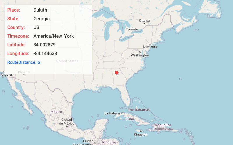
Full AddressDuluth, GA
-
Coordinates34.0028786, -84.1446376
-
LocationDuluth , Georgia , US
-
TimezoneAmerica/New_York
-
Current Local Time2:48:18 AM America/New_YorkThursday, June 19, 2025
-
Website
-
Page Views0
About Duluth
Duluth is a city near Atlanta, Georgia. The Southeastern Railway Museum houses an array of train artifacts, like Pullman cars, locomotives and cabooses. Adjacent to Duluth City Hall, the Town Green park has a large fountain and hosts free concerts. Hudgens Center for the Arts presents changing exhibitions and has a sculpture garden. Northeast, beaches and parks ring Lake Lanier.


Nearby Places
Found 10 places within 50 miles

Johns Creek
3.6 mi
5.8 km
Johns Creek, GA
Get directions

Peachtree Corners
6.0 mi
9.7 km
Peachtree Corners, GA
Get directions

Alpharetta
9.8 mi
15.8 km
Alpharetta, GA
Get directions

Tucker
11.1 mi
17.9 km
Tucker, GA
Get directions

Dunwoody
11.6 mi
18.7 km
Dunwoody, GA
Get directions

Chamblee
11.7 mi
18.8 km
Chamblee, GA
Get directions

Roswell
12.5 mi
20.1 km
Roswell, GA
Get directions

Milton
12.8 mi
20.6 km
Milton, GA
Get directions

Sandy Springs
14.0 mi
22.5 km
Sandy Springs, GA
Get directions

Brookhaven
14.6 mi
23.5 km
Brookhaven, GA
Get directions
Location Links
Local Weather
Weather Information
Coming soon!
Location Map
Static map view of Duluth, Georgia
Browse Places by Distance
Places within specific distances from Duluth
Short Distances
Long Distances
Click any distance to see all places within that range from Duluth. Distances shown in miles (1 mile ≈ 1.61 kilometers).