Distance to Conyers, Georgia

Calculating Your Route
Just a moment while we process your request...
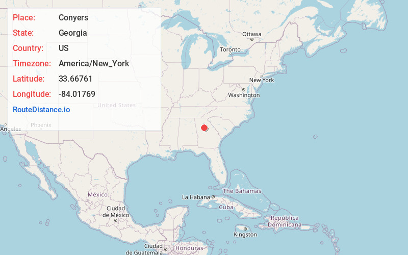
Location Information
-
Full AddressConyers, GA
-
Coordinates33.6676103, -84.0176904
-
LocationConyers , Georgia , US
-
TimezoneAmerica/New_York
-
Current Local Time3:25:46 AM America/New_YorkWednesday, June 25, 2025
-
Website
-
Page Views0
About Conyers
Conyers is a city and the county seat of Rockdale County, Georgia, United States. The city is 24 miles east of downtown Atlanta and is a part of the Atlanta metropolitan area. As of 2020, its population was 17,305. The formerly separate town of Milstead is now part of Conyers.


Nearby Places
Found 10 places within 50 miles

Redan
9.6 mi
15.4 km
Redan, GA
Get directions

Snellville
13.1 mi
21.1 km
Snellville, GA
Get directions

Stockbridge
14.9 mi
24.0 km
Stockbridge, GA
Get directions
Candler-McAfee
15.3 mi
24.6 km
Candler-McAfee, GA 30032
Get directions

McDonough
16.8 mi
27.0 km
McDonough, GA
Get directions

Tucker
17.3 mi
27.8 km
Tucker, GA
Get directions

Decatur
17.6 mi
28.3 km
Decatur, GA
Get directions

Lawrenceville
19.6 mi
31.5 km
Lawrenceville, GA
Get directions

Forest Park
20.5 mi
33.0 km
Forest Park, GA
Get directions

Atlanta
22.1 mi
35.6 km
Atlanta, GA
Get directions
Location Links
Local Weather
Weather Information
Coming soon!
Location Map
Static map view of Conyers, Georgia
Browse Places by Distance
Places within specific distances from Conyers
Short Distances
Long Distances
Click any distance to see all places within that range from Conyers. Distances shown in miles (1 mile ≈ 1.61 kilometers).