Distance to Decatur, Georgia

Calculating Your Route
Just a moment while we process your request...
Location Information
-
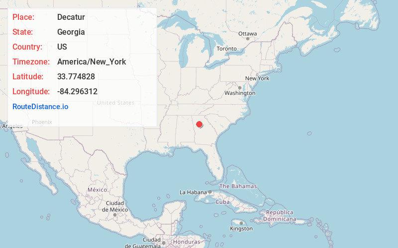
Full AddressDecatur, GA
-
Coordinates33.7748275, -84.2963123
-
LocationDecatur , Georgia , US
-
TimezoneAmerica/New_York
-
Current Local Time8:34:59 PM America/New_YorkMonday, June 16, 2025
-
Page Views0
About Decatur
Decatur is a city in Georgia, northeast of Atlanta. In the Old Courthouse, the DeKalb History Center’s museum traces local history through furniture and Civil War artifacts. Outside is a sculpture of Thomas Jefferson. Woodlands Garden offers tree-lined trails and native plants. To the northwest, Emory University’s Michael C. Carlos Museum houses ancient art and artifacts from Egypt, Greece, Rome and Asia.


Nearby Places
Found 10 places within 50 miles

Candler-McAfee
3.6 mi
5.8 km
Candler-McAfee, GA 30032
Get directions

Atlanta
5.6 mi
9.0 km
Atlanta, GA
Get directions

Brookhaven
6.7 mi
10.8 km
Brookhaven, GA
Get directions

Tucker
7.1 mi
11.4 km
Tucker, GA
Get directions

Chamblee
8.1 mi
13.0 km
Chamblee, GA
Get directions
Redan
8.2 mi
13.2 km
Redan, GA
Get directions

East Point
10.5 mi
16.9 km
East Point, GA
Get directions

Sandy Springs
11.6 mi
18.7 km
Sandy Springs, GA
Get directions

Dunwoody
12.0 mi
19.3 km
Dunwoody, GA
Get directions

Peachtree Corners
13.1 mi
21.1 km
Peachtree Corners, GA
Get directions
Location Links
Local Weather
Weather Information
Coming soon!
Location Map
Static map view of Decatur, Georgia
Browse Places by Distance
Places within specific distances from Decatur
Short Distances
Long Distances
Click any distance to see all places within that range from Decatur. Distances shown in miles (1 mile ≈ 1.61 kilometers).