Distance to Winder, Georgia

Calculating Your Route
Just a moment while we process your request...
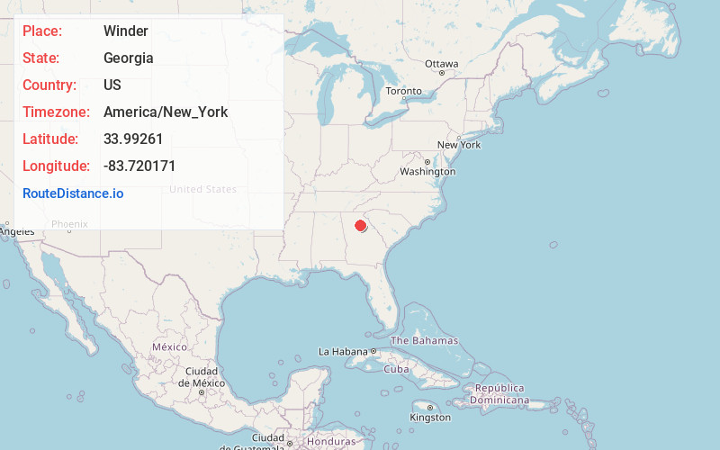
Location Information
-
Full AddressWinder, GA
-
Coordinates33.9926097, -83.7201709
-
LocationWinder , Georgia , US
-
TimezoneAmerica/New_York
-
Current Local Time12:36:33 PM America/New_YorkFriday, May 30, 2025
-
Page Views0
About Winder
Winder is a city and the county seat of Barrow County, Georgia, United States. It is located east of Atlanta and is part of the Atlanta metropolitan area. The population was 18,338 at the 2020 census.


Nearby Places
Found 10 places within 50 miles

Lawrenceville
15.6 mi
25.1 km
Lawrenceville, GA
Get directions

Snellville
19.6 mi
31.5 km
Snellville, GA
Get directions

Sugar Hill
19.6 mi
31.5 km
Sugar Hill, GA
Get directions

Athens
19.8 mi
31.9 km
Athens, GA
Get directions

Suwanee
20.5 mi
33.0 km
Suwanee, GA 30024
Get directions

Gainesville
21.9 mi
35.2 km
Gainesville, GA
Get directions

Duluth
24.3 mi
39.1 km
Duluth, GA
Get directions

Johns Creek
27.5 mi
44.3 km
Johns Creek, GA
Get directions

Peachtree Corners
29.4 mi
47.3 km
Peachtree Corners, GA
Get directions

Tucker
30.0 mi
48.3 km
Tucker, GA
Get directions
Location Links
Local Weather
Weather Information
Coming soon!
Location Map
Static map view of Winder, Georgia
Browse Places by Distance
Places within specific distances from Winder
Short Distances
Long Distances
Click any distance to see all places within that range from Winder. Distances shown in miles (1 mile ≈ 1.61 kilometers).