Distance to Flowery Branch, Georgia

Calculating Your Route
Just a moment while we process your request...
Location Information
-
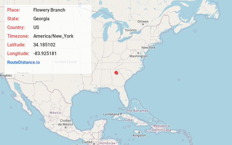
Full AddressFlowery Branch, GA
-
Coordinates34.1851017, -83.9251809
-
LocationFlowery Branch , Georgia , US
-
TimezoneAmerica/New_York
-
Current Local Time4:46:06 AM America/New_YorkThursday, June 19, 2025
-
Page Views0
About Flowery Branch
Flowery Branch is a city in Hall County, Georgia, United States. As of the 2020 census, the city had a population of 9,391. It is part of the Gainesville, Georgia metropolitan area, and lies on the shores of Lake Lanier. It is most known for being the city in which the Atlanta Falcons facilities are headquartered.


Nearby Places
Found 10 places within 50 miles

Buford
6.4 mi
10.3 km
Buford, GA
Get directions

Sugar Hill
8.2 mi
13.2 km
Sugar Hill, GA
Get directions

Gainesville
9.7 mi
15.6 km
Gainesville, GA
Get directions

Braselton
10.7 mi
17.2 km
Braselton, GA
Get directions

Suwanee
12.5 mi
20.1 km
Suwanee, GA 30024
Get directions

Lawrenceville
16.6 mi
26.7 km
Lawrenceville, GA
Get directions

Winder
17.7 mi
28.5 km
Winder, GA
Get directions

Duluth
17.8 mi
28.6 km
Duluth, GA
Get directions

Johns Creek
19.0 mi
30.6 km
Johns Creek, GA
Get directions

Jefferson
20.7 mi
33.3 km
Jefferson, GA
Get directions
Location Links
Local Weather
Weather Information
Coming soon!
Location Map
Static map view of Flowery Branch, Georgia
Browse Places by Distance
Places within specific distances from Flowery Branch
Short Distances
Long Distances
Click any distance to see all places within that range from Flowery Branch. Distances shown in miles (1 mile ≈ 1.61 kilometers).