Distance to Danielsville, Georgia

Calculating Your Route
Just a moment while we process your request...
Location Information
-
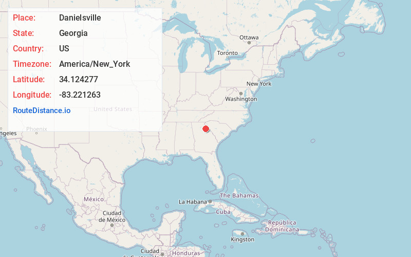
Full AddressDanielsville, GA 30633
-
Coordinates34.1242771, -83.2212629
-
LocationDanielsville , Georgia , US
-
TimezoneAmerica/New_York
-
Current Local Time1:00:59 AM America/New_YorkThursday, June 19, 2025
-
Page Views0
About Danielsville
Danielsville is a city in Madison County, Georgia, United States. The population was 654 at the 2020 census, up from 560 in 2010. The city is the county seat of Madison County.


Nearby Places
Found 10 places within 50 miles

Comer
6.9 mi
11.1 km
Comer, GA 30629
Get directions

Winterville
11.3 mi
18.2 km
Winterville, GA 30683
Get directions

Franklin Springs
11.9 mi
19.2 km
Franklin Springs, GA 30662
Get directions

Nicholson
12.1 mi
19.5 km
Nicholson, GA
Get directions

Royston
12.9 mi
20.8 km
Royston, GA 30662
Get directions

Athens
14.4 mi
23.2 km
Athens, GA
Get directions

Commerce
14.6 mi
23.5 km
Commerce, GA
Get directions

Crawford
17.1 mi
27.5 km
Crawford, GA 30630
Get directions

Arcade
19.7 mi
31.7 km
Arcade, GA
Get directions

Jefferson
20.1 mi
32.3 km
Jefferson, GA
Get directions
Location Links
Local Weather
Weather Information
Coming soon!
Location Map
Static map view of Danielsville, Georgia
Browse Places by Distance
Places within specific distances from Danielsville
Short Distances
Long Distances
Click any distance to see all places within that range from Danielsville. Distances shown in miles (1 mile ≈ 1.61 kilometers).