Distance to Ashland, Virginia

Calculating Your Route
Just a moment while we process your request...
Location Information
-
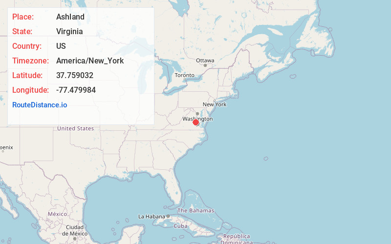
Full AddressAshland, VA 23005
-
Coordinates37.7590318, -77.4799837
-
LocationAshland , Virginia , US
-
TimezoneAmerica/New_York
-
Current Local Time12:11:59 AM America/New_YorkSunday, June 29, 2025
-
Website
-
Page Views0
About Ashland
Ashland is a town in Hanover County, Virginia, United States, located 16 miles north of Richmond along Interstate 95 and U.S. Route 1. As of the 2020 census it had a population of 7,565, up from 7,225 at the 2010 census.


Nearby Places
Found 10 places within 50 miles

Glen Allen
6.6 mi
10.6 km
Glen Allen, VA
Get directions

Laurel
8.2 mi
13.2 km
Laurel, VA
Get directions

Innsbrook
8.2 mi
13.2 km
Innsbrook, VA
Get directions

Wyndham
8.4 mi
13.5 km
Wyndham, VA 23059
Get directions
Dumbarton
10.1 mi
16.3 km
Dumbarton, VA
Get directions

Short Pump
10.3 mi
16.6 km
Short Pump, VA
Get directions

Lakeside
10.5 mi
16.9 km
Lakeside, VA
Get directions

Mechanicsville
11.9 mi
19.2 km
Mechanicsville, VA
Get directions
Tuckahoe
12.4 mi
20.0 km
Tuckahoe, VA
Get directions

Richmond
15.3 mi
24.6 km
Richmond, VA
Get directions
Location Links
Local Weather
Weather Information
Coming soon!
Location Map
Static map view of Ashland, Virginia
Browse Places by Distance
Places within specific distances from Ashland
Short Distances
Long Distances
Click any distance to see all places within that range from Ashland. Distances shown in miles (1 mile ≈ 1.61 kilometers).