Distance to Ashtabula, Ohio

Calculating Your Route
Just a moment while we process your request...
Location Information
-
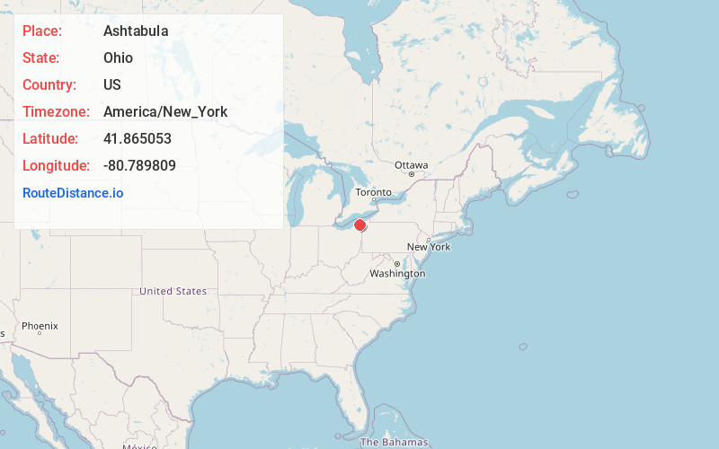
Full AddressAshtabula, OH 44004
-
Coordinates41.8650534, -80.7898089
-
LocationAshtabula , Ohio , US
-
TimezoneAmerica/New_York
-
Current Local Time9:03:08 PM America/New_YorkWednesday, June 18, 2025
-
Website
-
Page Views1
About Ashtabula
Ashtabula is the most populous city in Ashtabula County, Ohio, United States. It lies at the mouth of the Ashtabula River, on Lake Erie, 53 miles northeast of Cleveland. At the 2020 census, the city had 17,975 people.


Nearby Places
Found 10 places within 50 miles

Painesville
25.4 mi
40.9 km
Painesville, OH 44077
Get directions

Fairview
29.8 mi
48.0 km
Fairview, PA
Get directions

Mentor
31.5 mi
50.7 km
Mentor, OH 44060
Get directions

Willoughby
35.4 mi
57.0 km
Willoughby, OH 44094
Get directions

Eastlake
37.0 mi
59.5 km
Eastlake, OH 44095
Get directions

Erie
40.5 mi
65.2 km
Erie, PA
Get directions

Mayfield Heights
41.9 mi
67.4 km
Mayfield Heights, OH
Get directions

Euclid
42.4 mi
68.2 km
Euclid, OH
Get directions

Warren
43.4 mi
69.8 km
Warren, OH
Get directions

South Euclid
44.4 mi
71.5 km
South Euclid, OH
Get directions
Location Links
Local Weather
Weather Information
Coming soon!
Location Map
Static map view of Ashtabula, Ohio
Browse Places by Distance
Places within specific distances from Ashtabula
Short Distances
Long Distances
Click any distance to see all places within that range from Ashtabula. Distances shown in miles (1 mile ≈ 1.61 kilometers).