Distance to Warren, Ohio

Calculating Your Route
Just a moment while we process your request...
Location Information
-
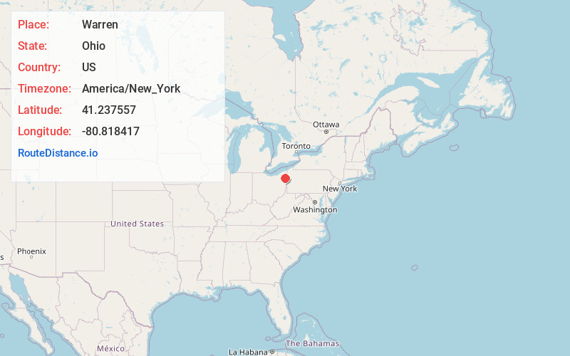
Full AddressWarren, OH
-
Coordinates41.2375569, -80.8184166
-
LocationWarren , Ohio , US
-
TimezoneAmerica/New_York
-
Current Local Time1:02:20 PM America/New_YorkSaturday, June 28, 2025
-
Website
-
Page Views0
About Warren
Warren is a city in Trumbull County, Ohio, United States, and its county seat. Located along the Mahoning River, Warren lies approximately 14 miles northwest of Youngstown and 56 miles southeast of Cleveland. The population was 39,201 at the 2020 census.


Nearby Places
Found 9 places within 50 miles

Youngstown
12.9 mi
20.8 km
Youngstown, OH
Get directions

Cuyahoga Falls
35.4 mi
57.0 km
Cuyahoga Falls, OH
Get directions

Akron
38.0 mi
61.2 km
Akron, OH
Get directions

Mentor
40.1 mi
64.5 km
Mentor, OH 44060
Get directions

Canton
42.1 mi
67.8 km
Canton, OH
Get directions

Cleveland Heights
42.9 mi
69.0 km
Cleveland Heights, OH
Get directions

Euclid
44.2 mi
71.1 km
Euclid, OH
Get directions

Parma
48.3 mi
77.7 km
Parma, OH
Get directions

Cleveland
48.9 mi
78.7 km
Cleveland, OH
Get directions
Location Links
Local Weather
Weather Information
Coming soon!
Location Map
Static map view of Warren, Ohio
Browse Places by Distance
Places within specific distances from Warren
Short Distances
Long Distances
Click any distance to see all places within that range from Warren. Distances shown in miles (1 mile ≈ 1.61 kilometers).