Distance to and from Ashton, Kansas
Ashton, KS 67051
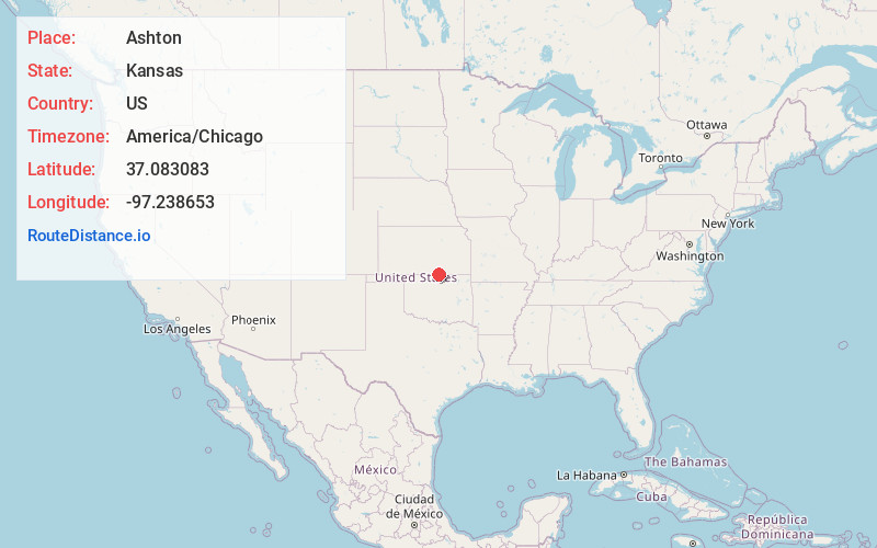
Ashton
Kansas
US
America/Chicago
Location Information
-
Full AddressAshton, KS 67051
-
Coordinates37.0830827, -97.2386534
-
LocationAshton , Kansas , US
-
TimezoneAmerica/Chicago
-
Current Local Time11:10:53 AM America/ChicagoSaturday, May 3, 2025
-
Page Views0
Directions to Nearest Cities
About Ashton
Ashton is an unincorporated community in Walton Township, Sumner County, Kansas, United States. It is located about halfway between South Haven and Arkansas City at 1.75 miles north of the intersection of S Rock Rd and U.S. Route 166, which is 5.5 miles east of I-35, next to an abandoned railroad.
Nearby Places
Found 10 places within 50 miles

Geuda Springs
5.4 mi
8.7 km
Geuda Springs, KS 67051
Get directions

South Haven
9.4 mi
15.1 km
South Haven, KS 67140
Get directions
Dilworth
9.8 mi
15.8 km
Dilworth, OK 74632
Get directions
Hunnewell
10.6 mi
17.1 km
Hunnewell, KS 67140
Get directions
Moxham
10.8 mi
17.4 km
Moxham, Creswell Township, KS 67005
Get directions

Arkansas City
11.1 mi
17.9 km
Arkansas City, KS 67005
Get directions
Middleton
11.2 mi
18.0 km
Middleton, OK 74647
Get directions

Braman
12.2 mi
19.6 km
Braman, OK 74632
Get directions
Dalton
13.0 mi
20.9 km
Dalton, Avon Township, KS 67152
Get directions
Hackney
13.2 mi
21.2 km
Hackney, KS 67156
Get directions
Geuda Springs
5.4 mi
8.7 km
Geuda Springs, KS 67051
South Haven
9.4 mi
15.1 km
South Haven, KS 67140
Dilworth
9.8 mi
15.8 km
Dilworth, OK 74632
Hunnewell
10.6 mi
17.1 km
Hunnewell, KS 67140
Moxham
10.8 mi
17.4 km
Moxham, Creswell Township, KS 67005
Arkansas City
11.1 mi
17.9 km
Arkansas City, KS 67005
Middleton
11.2 mi
18.0 km
Middleton, OK 74647
Braman
12.2 mi
19.6 km
Braman, OK 74632
Dalton
13.0 mi
20.9 km
Dalton, Avon Township, KS 67152
Hackney
13.2 mi
21.2 km
Hackney, KS 67156
Location Links
Local Weather
Weather Information
Coming soon!
Location Map
Static map view of Ashton, Kansas
Browse Places by Distance
Places within specific distances from Ashton
Short Distances
Long Distances
Click any distance to see all places within that range from Ashton. Distances shown in miles (1 mile ≈ 1.61 kilometers).