Distance to Hunnewell, Kansas

Calculating Your Route
Just a moment while we process your request...
Location Information
-
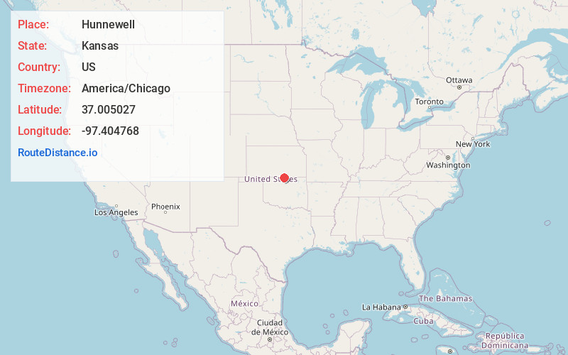
Full AddressHunnewell, KS 67140
-
Coordinates37.0050268, -97.4047679
-
LocationHunnewell , Kansas , US
-
TimezoneAmerica/Chicago
-
Current Local Time10:04:32 PM America/ChicagoThursday, June 19, 2025
-
Page Views0
About Hunnewell
Hunnewell is a city in Sumner County, Kansas, United States. As of the 2020 census, the population of the city was 44.
Nearby Places
Found 10 places within 50 miles

South Haven
3.2 mi
5.1 km
South Haven, KS 67140
Get directions

Braman
6.9 mi
11.1 km
Braman, OK 74632
Get directions

Caldwell
11.3 mi
18.2 km
Caldwell, KS 67022
Get directions

Nardin
14.0 mi
22.5 km
Nardin, OK 74646
Get directions

Deer Creek
15.2 mi
24.5 km
Deer Creek, OK 74636
Get directions

Blackwell
15.4 mi
24.8 km
Blackwell, OK 74631
Get directions
Geuda Springs
16.0 mi
25.7 km
Geuda Springs, KS 67051
Get directions

Wellington
18.1 mi
29.1 km
Wellington, KS
Get directions

Arkansas City
20.6 mi
33.2 km
Arkansas City, KS 67005
Get directions

Newkirk
21.2 mi
34.1 km
Newkirk, OK 74647
Get directions
Location Links
Local Weather
Weather Information
Coming soon!
Location Map
Static map view of Hunnewell, Kansas
Browse Places by Distance
Places within specific distances from Hunnewell
Short Distances
Long Distances
Click any distance to see all places within that range from Hunnewell. Distances shown in miles (1 mile ≈ 1.61 kilometers).