Distance to Ashwood, Oregon

Calculating Your Route
Just a moment while we process your request...
Location Information
-
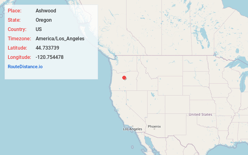
Full AddressAshwood, OR 97711
-
Coordinates44.7337386, -120.7544782
-
LocationAshwood , Oregon , US
-
TimezoneAmerica/Los_Angeles
-
Current Local Time8:25:20 PM America/Los_AngelesTuesday, June 17, 2025
-
Page Views0
About Ashwood
Ashwood is a ghost town in Jefferson County, Oregon, United States, 32 miles northeast of Madras.
Ashwood was named for its proximity to Ash Butte, a butte with volcanic ash deposits on its sides, and to honor Whitfield T. Wood, who settled in the area in the 1870s. Ashwood post office was established in 1898.


Nearby Places
Found 10 places within 50 miles

Kilts
7.9 mi
12.7 km
Kilts, OR 97711
Get directions

Willowdale
10.5 mi
16.9 km
Willowdale, OR 97741
Get directions

Antelope
12.3 mi
19.8 km
Antelope, OR 97001
Get directions

Gateway
16.3 mi
26.2 km
Gateway, OR 97741
Get directions
Grizzly
18.2 mi
29.3 km
Grizzly, OR 97741
Get directions

Clarno
18.5 mi
29.8 km
Clarno, OR 97830
Get directions

Shaniko
18.7 mi
30.1 km
Shaniko, OR 97037
Get directions

Madras
19.7 mi
31.7 km
Madras, OR 97741
Get directions

Metolius
23.2 mi
37.3 km
Metolius, OR 97741
Get directions

Warm Springs
25.2 mi
40.6 km
Warm Springs, OR 97761
Get directions
Location Links
Local Weather
Weather Information
Coming soon!
Location Map
Static map view of Ashwood, Oregon
Browse Places by Distance
Places within specific distances from Ashwood
Short Distances
Long Distances
Click any distance to see all places within that range from Ashwood. Distances shown in miles (1 mile ≈ 1.61 kilometers).