Distance to Metolius, Oregon

Calculating Your Route
Just a moment while we process your request...
Location Information
-
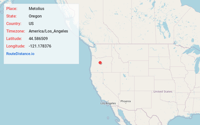
Full AddressMetolius, OR 97741
-
Coordinates44.5865092, -121.1783761
-
LocationMetolius , Oregon , US
-
TimezoneAmerica/Los_Angeles
-
Current Local Time8:30:22 PM America/Los_AngelesThursday, June 19, 2025
-
Page Views0
About Metolius
Metolius is a city in Jefferson County, Oregon, United States, named for the Metolius River, a nearby tributary of the Deschutes River. The name for both comes from the Warm Springs or Sahaptin word mitula, meaning white salmon and referring to a light colored Chinook salmon and not a whitefish.


Nearby Places
Found 9 places within 50 miles

Madras
4.0 mi
6.4 km
Madras, OR 97741
Get directions

Culver
4.5 mi
7.2 km
Culver, OR 97734
Get directions

Warm Springs
13.0 mi
20.9 km
Warm Springs, OR 97761
Get directions

Terrebonne
16.1 mi
25.9 km
Terrebonne, OR 97760
Get directions

Redmond
21.7 mi
34.9 km
Redmond, OR 97756
Get directions

Prineville
26.1 mi
42.0 km
Prineville, OR
Get directions

Sisters
27.4 mi
44.1 km
Sisters, OR 97759
Get directions

Bend
37.1 mi
59.7 km
Bend, OR
Get directions

Deschutes River Woods
42.1 mi
67.8 km
Deschutes River Woods, OR 97702
Get directions
Location Links
Local Weather
Weather Information
Coming soon!
Location Map
Static map view of Metolius, Oregon
Browse Places by Distance
Places within specific distances from Metolius
Short Distances
Long Distances
Click any distance to see all places within that range from Metolius. Distances shown in miles (1 mile ≈ 1.61 kilometers).