Distance to Ashwoods, Virginia

Calculating Your Route
Just a moment while we process your request...
Location Information
-
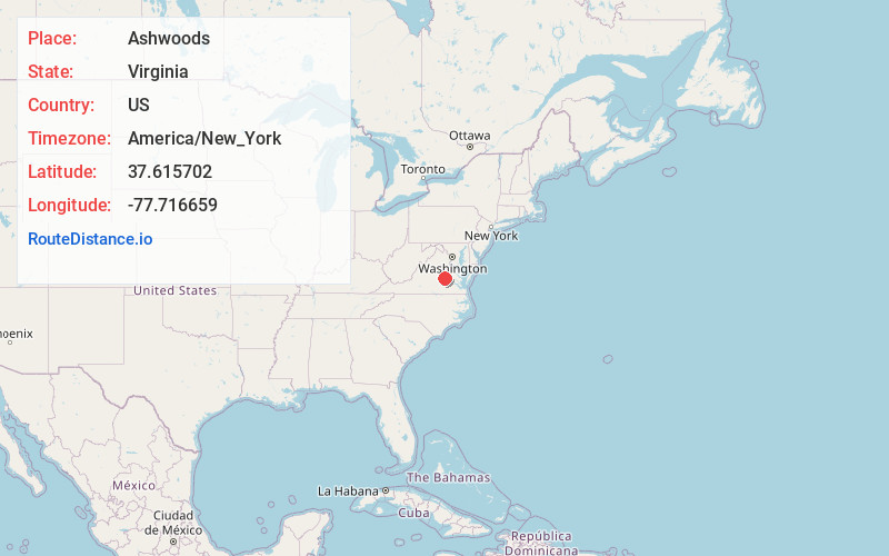
Full AddressAshwoods, VA 23103
-
Coordinates37.6157023, -77.7166593
-
LocationAshwoods , Virginia , US
-
TimezoneAmerica/New_York
-
Current Local Time2:05:22 AM America/New_YorkThursday, June 19, 2025
-
Page Views0
Nearby Places
Found 10 places within 50 miles

Manakin
1.3 mi
2.1 km
Manakin, VA 23238
Get directions

Boscobel
1.4 mi
2.3 km
Boscobel, VA 23103
Get directions
Sabot
1.7 mi
2.7 km
Sabot, VA 23103
Get directions
Auburn Chase
1.8 mi
2.9 km
Auburn Chase, VA 23103
Get directions
Vinita
3.0 mi
4.8 km
Vinita, VA 23238
Get directions
Huguenot
3.3 mi
5.3 km
Huguenot, VA 23113
Get directions
James River Estates
4.0 mi
6.4 km
James River Estates, VA 23238
Get directions
Hickory Haven
4.1 mi
6.6 km
Hickory Haven, VA 23233
Get directions
Amber Lake
4.5 mi
7.2 km
Amber Lake, VA 23103
Get directions
Crozier
4.6 mi
7.4 km
Crozier, VA 23039
Get directions
Location Links
Local Weather
Weather Information
Coming soon!
Location Map
Static map view of Ashwoods, Virginia
Browse Places by Distance
Places within specific distances from Ashwoods
Short Distances
Long Distances
Click any distance to see all places within that range from Ashwoods. Distances shown in miles (1 mile ≈ 1.61 kilometers).