Distance to Crozier, Virginia

Calculating Your Route
Just a moment while we process your request...
Location Information
-
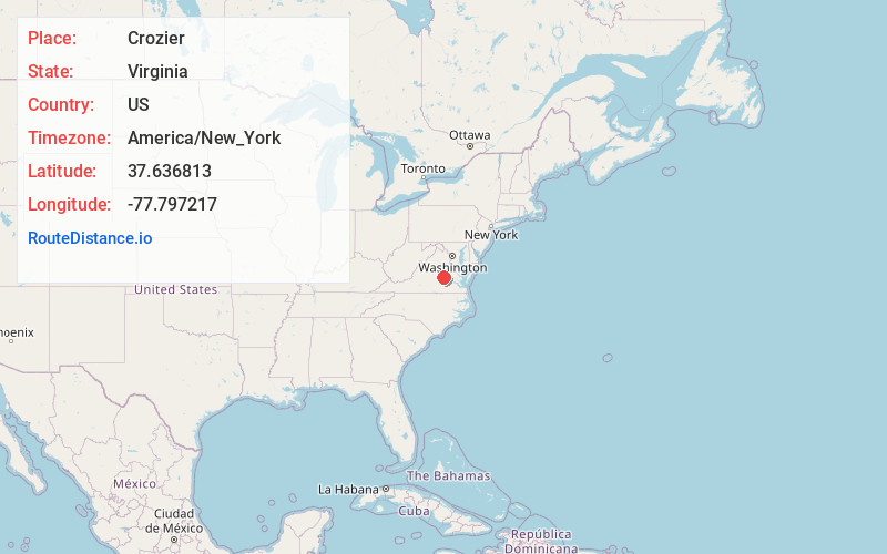
Full AddressCrozier, VA 23039
-
Coordinates37.6368134, -77.7972171
-
LocationCrozier , Virginia , US
-
TimezoneAmerica/New_York
-
Current Local Time4:49:47 AM America/New_YorkSaturday, June 14, 2025
-
Page Views0
About Crozier
Crozier is an unincorporated community in Goochland County, Virginia, United States. Crozier is located on Virginia State Route 6, about 5.8 miles east-southeast of Goochland. Crozier has a post office with ZIP code 23039.
Nearby Places
Found 10 places within 50 miles

Thorncliff
2.5 mi
4.0 km
Thorncliff, VA 23102
Get directions
Boscobel
4.4 mi
7.1 km
Boscobel, VA 23103
Get directions
Oilville
4.7 mi
7.6 km
Oilville, VA
Get directions

Goochland
5.8 mi
9.3 km
Goochland, VA 23063
Get directions
Johnsons Springs
6.3 mi
10.1 km
Johnsons Springs, VA 23146
Get directions
Cedar Point
7.2 mi
11.6 km
Cedar Point, Goochland, VA 23063
Get directions
Flat Rock
8.0 mi
12.9 km
Flat Rock, VA 23139
Get directions
Holly Hills
9.3 mi
15.0 km
Holly Hills, VA 23139
Get directions

Powhatan
9.4 mi
15.1 km
Powhatan, VA 23139
Get directions

Short Pump
9.5 mi
15.3 km
Short Pump, VA
Get directions
Location Links
Local Weather
Weather Information
Coming soon!
Location Map
Static map view of Crozier, Virginia
Browse Places by Distance
Places within specific distances from Crozier
Short Distances
Long Distances
Click any distance to see all places within that range from Crozier. Distances shown in miles (1 mile ≈ 1.61 kilometers).