Distance to Flat Rock, Virginia

Calculating Your Route
Just a moment while we process your request...
Location Information
-
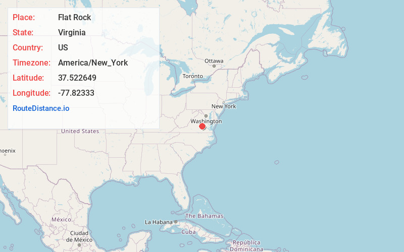
Full AddressFlat Rock, VA 23139
-
Coordinates37.5226485, -77.8233302
-
LocationVirginia , US
-
TimezoneAmerica/New_York
-
Current Local Time9:46:28 PM America/New_YorkThursday, June 19, 2025
-
Page Views0
About Flat Rock
Flat Rock is an unincorporated community in Powhatan County, in the U.S. state of Virginia. Flatrock was a stop on the Farmville and Powhatan Railroad from 1884 to 1905 and then on the Tidewater and Western Railroad from 1905 to 1917.
Nearby Places
Found 10 places within 50 miles

Powhatan
5.4 mi
8.7 km
Powhatan, VA 23139
Get directions

Mattoax
7.1 mi
11.4 km
Mattoax, VA 23002
Get directions
Boscobel
7.3 mi
11.7 km
Boscobel, VA 23103
Get directions
Macon
7.6 mi
12.2 km
Macon, VA 23139
Get directions
Thorncliff
8.7 mi
14.0 km
Thorncliff, VA 23102
Get directions

Midlothian
9.6 mi
15.4 km
Midlothian, VA
Get directions

Woodlake
10.6 mi
17.1 km
Woodlake, VA
Get directions
Robious
11.6 mi
18.7 km
Robious, VA 23113
Get directions

Goochland
11.7 mi
18.8 km
Goochland, VA 23063
Get directions
Haw Branch
13.3 mi
21.4 km
Haw Branch, VA 23002
Get directions
Location Links
Local Weather
Weather Information
Coming soon!
Location Map
Static map view of Flat Rock, Virginia
Browse Places by Distance
Places within specific distances from Flat Rock
Short Distances
Long Distances
Click any distance to see all places within that range from Flat Rock. Distances shown in miles (1 mile ≈ 1.61 kilometers).